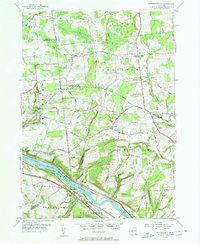
1954 Map of Pattersonville
USGS Topo · Published 1956About this map
Pattersonville and Hoffmans sit at a vital transportation corridor along the south bank of the Mohawk River, where the landscape reveals layers of New York's transit history. The map preserves the alignment of the Erie Canal (Abandoned) alongside the active New York Central Railroad and the emerging Central Thruway, illustrating the evolution from 19th-century water routes to modern automotive infrastructure.
Find a feature on this map
65 named features on this map. Tap any name to fly to it.
Don’t see what you’re looking for? This feature index may not catch every label — zoom into the map to look around manually.
Map Details
Editions of this 1954 Pattersonville Map
2 editions found
Historical Maps of Rotterdam Through Time
18 maps found
1954 Duanesburg
Schenectady County, NY
1954 Pattersonville
Schenectady County, NY
1954 Rotterdam Junction
Schenectady County, NY
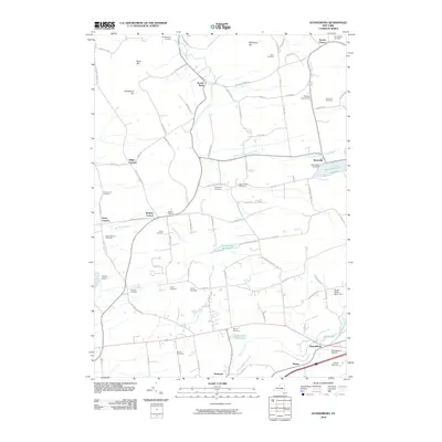
2010 Duanesburg
Schenectady County, NY
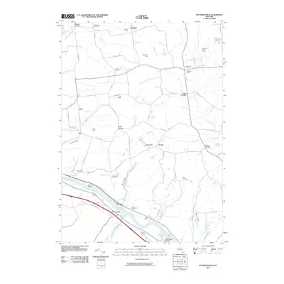
2010 Pattersonville
Schenectady County, NY
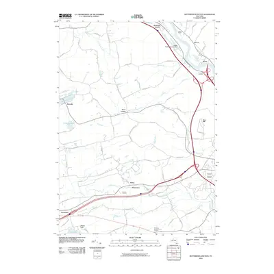
2010 Rotterdam Junction
Schenectady County, NY
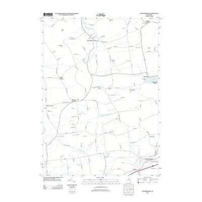
2013 Duanesburg
Schenectady County, NY
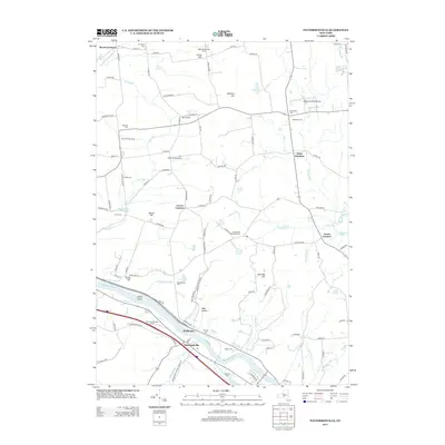
2013 Pattersonville
Schenectady County, NY
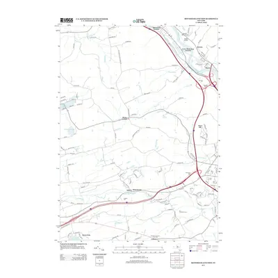
2013 Rotterdam Junction
Schenectady County, NY
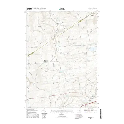
2016 Duanesburg
Schenectady County, NY
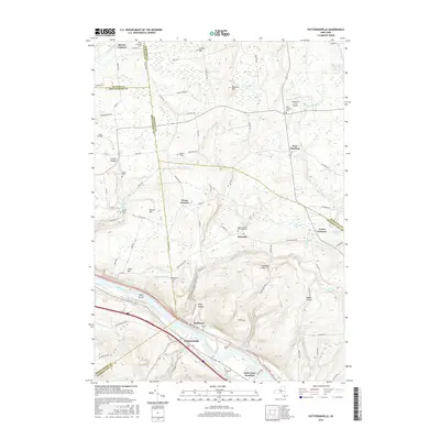
2016 Pattersonville
Schenectady County, NY
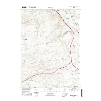
2016 Rotterdam Junction
Schenectady County, NY
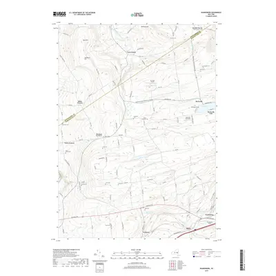
2019 Duanesburg
Schenectady County, NY
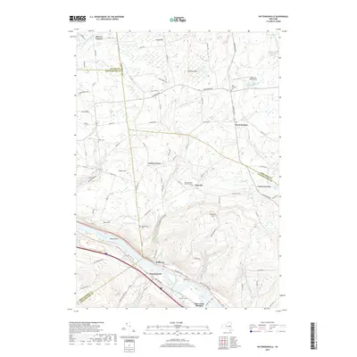
2019 Pattersonville
Schenectady County, NY
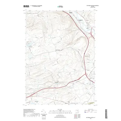
2019 Rotterdam Junction
Schenectady County, NY
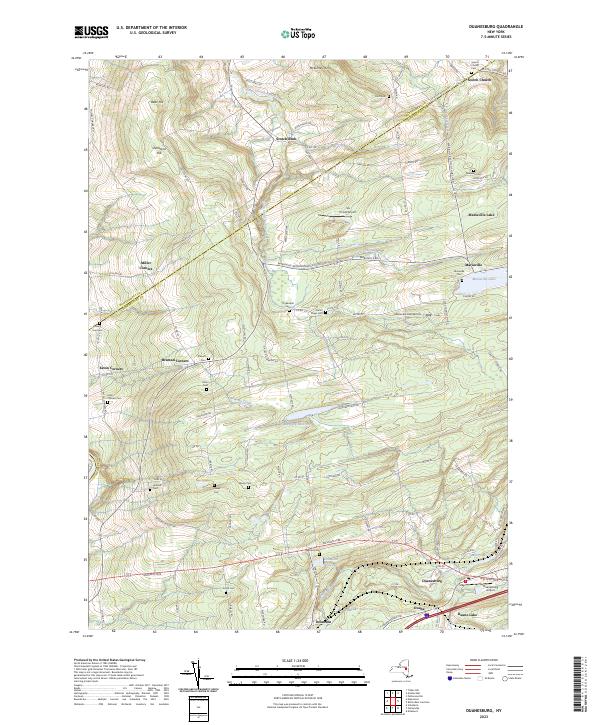
2023 Duanesburg
Schenectady County, NY
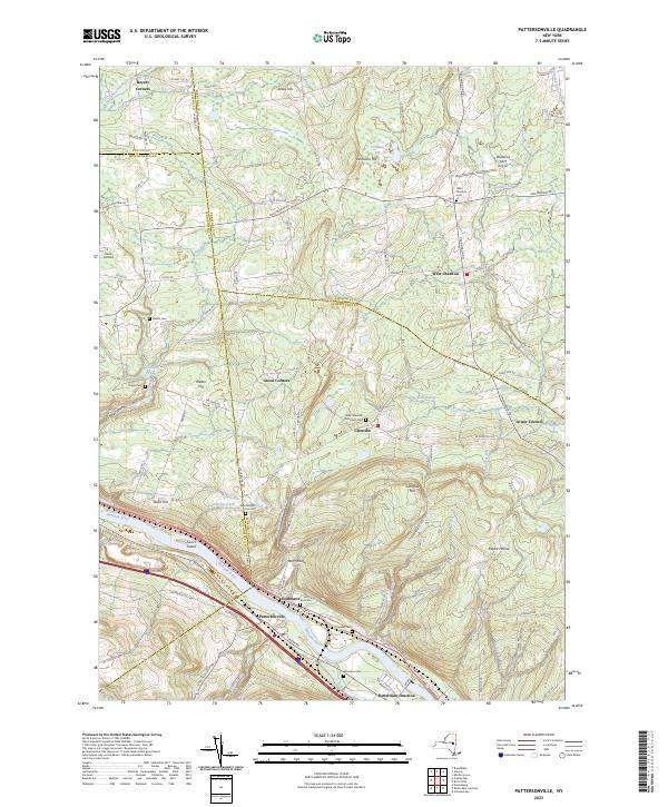
2023 Pattersonville
Schenectady County, NY
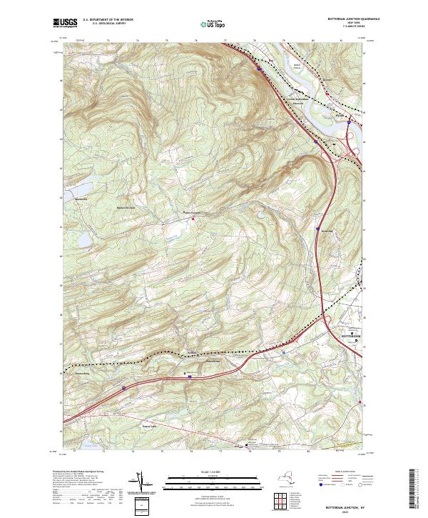
2023 Rotterdam Junction
Schenectady County, NY