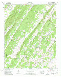
1973 Map of Pattie Gap
USGS Topo · Published 1975About this map
Pattie Gap serves as a prominent landmark in this 1970s landscape, where several East Tennessee counties converge amidst a series of parallel ridges. The map illustrates a rural society centered around small valley communities such as Erie and Luttrell, with a remarkably high density of country churches and family burial grounds including Salem Ch, Pleasant Hill Ch, and the Richardson Cem. These sites, often located near the base of landforms like Paint Rock Ridge and Stamp Ridge, suggest a long history of family-based settlement and local congregation.
Find a feature on this map
69 named features on this map. Tap any name to fly to it.
Don’t see what you’re looking for? This feature index may not catch every label — zoom into the map to look around manually.
Map Details
Editions of this 1973 Pattie Gap Map
2 editions found
Other maps of this area

1887 · Kingston
USGS Topo · 1:125,000

1891 · Kingston
USGS Topo · 1:125,000

1893 · Kingston
USGS Topo · 1:125,000

1895 · Loudon
USGS Topo · 1:125,000

1935 · Niota
USGS Topo · 1:24,000

1935 · Rockwood
USGS Topo · 1:24,000

1935 · Philadelphia
USGS Topo · 1:24,000

1936 · Cave Creek
USGS Topo · 1:24,000
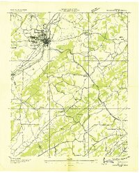
1936 · Sweetwater
USGS Topo · 1:24,000
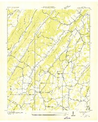
1936 · Pattie Gap
USGS Topo · 1:24,000