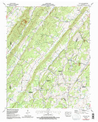
1973 Map of Pattie Gap
USGS Topo · Published 1996About this map
Hurricane Valley and Hurricane Creek define the western portion of this Tennessee landscape, where small rural communities are scattered across the ridges and gaps. The map documents a significant concentration of family heritage sites, including the Deatherage Cem, Roberts Cem, and Matthews Cem, which serve as critical landmarks for genealogical research. The local economy and social life of the era are centered around rural institutions like Cook Mill, the Cedar Fork School, and numerous country churches such as Salem Ch and Johnson Chapel.
Find a feature on this map
52 named features on this map. Tap any name to fly to it.
Don’t see what you’re looking for? This feature index may not catch every label — zoom into the map to look around manually.
Map Details
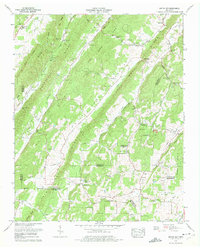
Editions of this 1973 Pattie Gap Map
2 editions found
Other maps of this area

1887 · Kingston
USGS Topo · 1:125,000

1891 · Kingston
USGS Topo · 1:125,000

1893 · Kingston
USGS Topo · 1:125,000

1895 · Loudon
USGS Topo · 1:125,000

1935 · Niota
USGS Topo · 1:24,000

1935 · Rockwood
USGS Topo · 1:24,000

1935 · Philadelphia
USGS Topo · 1:24,000

1936 · Cave Creek
USGS Topo · 1:24,000
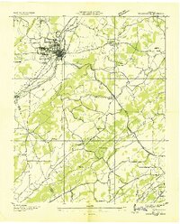
1936 · Sweetwater
USGS Topo · 1:24,000
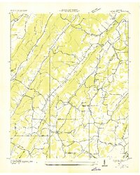
1936 · Pattie Gap
USGS Topo · 1:24,000