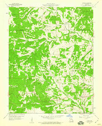
1959 Map of Patton
USGS Topo · Published 1960About this map
Patton and its neighboring settlements occupy this landscape where the Whitewater River and Little Whitewater River converge in northern Bollinger County. Published in 1960 from aerial data and a 1959 field check, the survey reveals a rural Missouri community defined by small agricultural clusters and localized institutions. The transition from the more established Patton to the newer Patton Junction reflects the mid-century influence of highway development on local geography.
Find a feature on this map
28 named features on this map. Tap any name to fly to it.
Don’t see what you’re looking for? This feature index may not catch every label — zoom into the map to look around manually.
Map Details
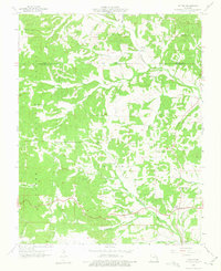
Editions of this 1959 Patton Map
2 editions found
Other maps of this area

1910 · Higdon
USGS Topo · 1:62,500

1923 · Perryville
USGS Topo · 1:62,500

1924 · Perryville
USGS Topo · 1:62,500

1933 · Marble Hill
USGS Topo · 1:62,500

1933 · Marquand
USGS Topo · 1:62,500

1937 · Marble Hill
USGS Topo · 1:62,500

1938 · Marquand
USGS Topo · 1:62,500

1949 · Paducah
USGS Topo · 1:250,000

1949 · Rolla
USGS Topo · 1:250,000

1950 · Paducah
USGS Topo · 1:250,000