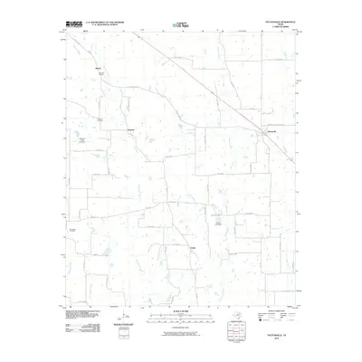
2010 Map of Pattonville
USGS Topo · Published 2010About this map
Pattonville sits at the intersection of FM 196 and Sylvan Rd in Lamar County, serving as a focal point for a landscape defined by its rural road network and scattered agrarian settlements. The topography is etched by the parallel drainage of Big Sandy Creek, Little Sandy Creek, and Mulberry Creek, which flow south toward the basin. These watercourses are punctuated by small-scale modifications like Wilson Lake and its corresponding Wilson Lake Dam.
Find a feature on this map
52 named features on this map. Tap any name to fly to it.
Don’t see what you’re looking for? This feature index may not catch every label — zoom into the map to look around manually.
Map Details
Editions of this 2010 Pattonville Map
This is the sole edition of this map. No revisions or reprints were ever made.
Other maps of this area

1903 · Paris
USGS Topo · 1:125,000

1948 · Paris
USGS Topo · 1:62,500

1949 · Paris
USGS Topo · 1:62,500

1953 · Texarkana
USGS Topo · 1:250,000

1956 · Texarkana
USGS Topo · 1:250,000

1963 · Minter
USGS Topo · 1:24,000

1963 · Cunningham
USGS Topo · 1:24,000

1964 · Detroit
USGS Topo · 1:24,000

1964 · Deport
USGS Topo · 1:24,000

1964 · Pattonville
USGS Topo · 1:24,000