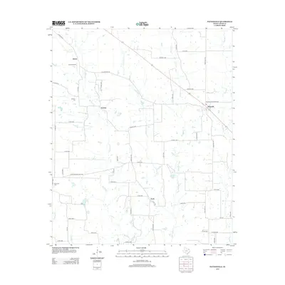
2013 Map of Pattonville
USGS Topo · Published 2013About this map
Pattonville and the surrounding Lamar County countryside are defined by a complex network of creeks and bayous that drain this agricultural landscape. The terrain is crisscrossed by numerous waterways, including Big Sandy Cr, Mulberry Cr, and the slow-moving Bee Bayou. Small rural settlements like Marvin, Jennings, and Clardy are connected by a dense grid of county roads and farm-to-market routes, reflecting the region's enduring rural character. For those researching local history, the map preserves the locations of community landmarks such as Neathery Cem and Biardstown Cem. In the northwest, the Burress Airport serves as a modern transportation node near Echols Cr. The landscape is dotted with small stock tanks and water bodies like Wilson Lake, illustrating the hydrological management necessary for North Texas farming and ranching.
Find a feature on this map
54 named features on this map. Tap any name to fly to it.
Don’t see what you’re looking for? This feature index may not catch every label — zoom into the map to look around manually.
Map Details
Editions of this 2013 Pattonville Map
This is the sole edition of this map. No revisions or reprints were ever made.
Other maps of this area

1903 · Paris
USGS Topo · 1:125,000

1948 · Paris
USGS Topo · 1:62,500

1949 · Paris
USGS Topo · 1:62,500

1953 · Texarkana
USGS Topo · 1:250,000

1956 · Texarkana
USGS Topo · 1:250,000

1963 · Minter
USGS Topo · 1:24,000

1963 · Cunningham
USGS Topo · 1:24,000

1964 · Detroit
USGS Topo · 1:24,000

1964 · Deport
USGS Topo · 1:24,000

1964 · Pattonville
USGS Topo · 1:24,000