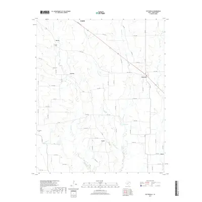
2019 Map of Pattonville
USGS Topo · Published 2019About this map
Pattonville and several small rural settlements across Lamar County are detailed in this 2019 survey, showcasing a landscape defined by an intricate network of county roads and creek drainages. Small communities such as Jennings, Clardy, Marvin, and Milton are situated amidst the headwaters of the Sulphur River basin, where Big Sandy Cr, Little Sandy Cr, and Mulberry Cr carve through the terrain. The presence of Neathery Cem and Biardstown Cem offers specific locations for genealogical research in this agricultural region.
Find a feature on this map
60 named features on this map. Tap any name to fly to it.
Don’t see what you’re looking for? This feature index may not catch every label — zoom into the map to look around manually.
Map Details
Editions of this 2019 Pattonville Map
This is the sole edition of this map. No revisions or reprints were ever made.
Other maps of this area

1903 · Paris
USGS Topo · 1:125,000

1948 · Paris
USGS Topo · 1:62,500

1949 · Paris
USGS Topo · 1:62,500

1953 · Texarkana
USGS Topo · 1:250,000

1956 · Texarkana
USGS Topo · 1:250,000

1963 · Minter
USGS Topo · 1:24,000

1963 · Cunningham
USGS Topo · 1:24,000

1964 · Detroit
USGS Topo · 1:24,000

1964 · Deport
USGS Topo · 1:24,000

1964 · Pattonville
USGS Topo · 1:24,000