
1899 Map of Patuxent
USGS Topo · Published 1899About this map
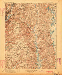
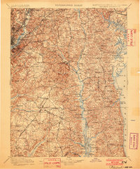
Maryland Agril. College and the growing rail junctions of Hyattsville and Bladensburg anchor the northwestern corner of this late 19th-century survey. The landscape transitions from these early suburban nodes near the District of Columbia into the extensive agricultural and marshy reaches of the Patuxent River and the Zekiah Swamp. The industrial and leisure economy of the era is evident in the alignment of the Chesapeake Beach Railroad, which terminates at the massive Chesapeake Beach Pier on the Herring Bay shoreline.
Find a feature on this map
163 named features on this map. Tap any name to fly to it.
Don’t see what you’re looking for? This feature index may not catch every label — zoom into the map to look around manually.
Map Details
Editions of this 1899 Patuxent Map
3 editions found
Other maps of this area

1889 · Fredericksburg
USGS Topo · 1:125,000

1890 · Mt. Vernon
USGS Topo · 1:125,000

1891 · Mt. Vernon
USGS Topo · 1:125,000

1892 · Leonardtown
USGS Topo · 1:62,500

1892 · Laurel
USGS Topo · 1:62,500

1892 · Fredericksburg
USGS Topo · 1:125,000

1892 · Drum Point
USGS Topo · 1:62,500

1892 · Prince Frederick
USGS Topo · 1:62,500

1892 · Brandywine
USGS Topo · 1:62,500

1892 · Owensville
USGS Topo · 1:62,500