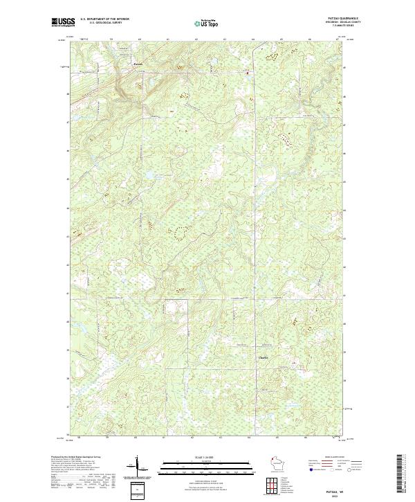
2022 Map of Patzau
USGS Topo · Published 2022About this map
Patzau and Chaffey anchor this remote section of Douglas County, where the northern Wisconsin landscape is defined by the headwaters of the Black River and numerous glacial lakes. The modern survey highlights the Gandy Dancer State Trl, a recreational path following a former rail corridor that once served the timber and transport needs of the region. This transition from industry to recreation is central to the area's contemporary character.
Find a feature on this map
45 named features on this map. Tap any name to fly to it.
Don’t see what you’re looking for? This feature index may not catch every label — zoom into the map to look around manually.
Map Details
Editions of this 2022 Patzau Map
This is the sole edition of this map. No revisions or reprints were ever made.
Other maps of this area

1915 · Superior
USGS Topo · 1:48,000

1917 · Superior
USGS Topo · 1:62,500

1949 · Holyoke
USGS Topo · 1:48,000

1949 · Patzau
USGS Topo · 1:48,000

1953 · Duluth
USGS Topo · 1:250,000

1954 · Borea
USGS Topo · 1:24,000

1954 · Foxboro
USGS Topo · 1:24,000

1954 · Sunnyside
USGS Topo · 1:24,000

1954 · Amnicon Lake
USGS Topo · 1:24,000

1954 · Frogner
USGS Topo · 1:24,000