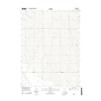
2014 Map of Paul
USGS Topo · Published 2014About this map
Paul stands as the primary settlement in this portion of the Nebraska agricultural landscape, situated within a network of section roads that define the rural character of Otoe County. The terrain is deeply influenced by the watershed of the Little Nemaha River, which cuts across the southwestern corner, while numerous smaller drainages like Sand Cr, Rock Cr, and Plum Run carve through the undulating hills.
Find a feature on this map
22 named features on this map. Tap any name to fly to it.
Don’t see what you’re looking for? This feature index may not catch every label — zoom into the map to look around manually.
Map Details
Editions of this 2014 Paul Map
This is the sole edition of this map. No revisions or reprints were ever made.
Other maps of this area

1903 · Weeping Water
USGS Topo · 1:125,000

1907 · Nebraska City
USGS Topo · 1:62,500

1915 · Howe
USGS Topo · 1:62,500

1929 · Weeping Water
USGS Topo · 1:125,000

1955 · Nebraska City
USGS Topo · 1:250,000

1955 · Lincoln
USGS Topo · 1:250,000

1957 · Nebraska City
USGS Topo · 1:250,000

1957 · Lincoln
USGS Topo · 1:250,000

1958 · Lincoln
USGS Topo · 1:250,000

1958 · Nebraska City
USGS Topo · 1:250,000