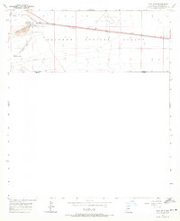
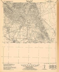
1957 Map of Paul Spur
USGS Topo · Published 1971About this map
Sulphur Springs Valley defines the arid landscape of this border region, where the Southern Pacific railroad runs parallel to the international boundary between the United States and Mexico. This survey captures the specialized industrial and transit infrastructure of southern Cochise County during the mid-1950s, centered on the settlement of Paul Spur and the nearby Forrest station. The local economy is represented by a prominent Quarry and associated Landing Strip, likely serving the mineral extraction or ranching interests of the era.
Find a feature on this map
19 named features on this map. Tap any name to fly to it.
Don’t see what you’re looking for? This feature index may not catch every label — zoom into the map to look around manually.
Map Details
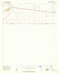
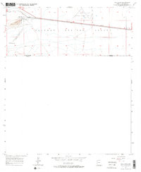
Editions of this 1957 Paul Spur Map
3 editions found
Other maps of this area

1902 · Bisbee
USGS Topo · 1:62,500

1910 · Bisbee
USGS Topo · 1:62,500

1914 · Douglas
USGS Topo · 1:62,500

1916 · Douglas
USGS Topo · 1:125,000

1919 · Douglas
USGS Topo · 1:125,000

1925 · Douglas
USGS Topo · 1:62,500

1927 · Bisbee
USGS Topo · 1:62,500
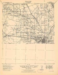
1933 · Douglas
USGS Topo · 1:62,500
1933 · Bisbee
USGS Topo · 1:62,500

1955 · Douglas
USGS Topo · 1:250,000