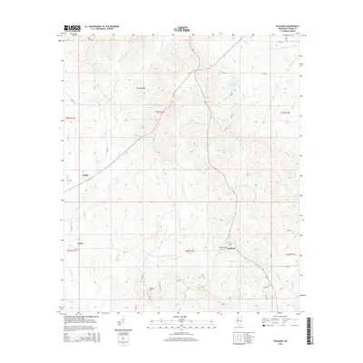
2015 Map of Paulding
USGS Topo · Published 2015About this map
Paulding serves as a focal point in this portion of Jasper County, where the landscape is defined by a dense network of creek drainages and timbered ridges. The settlement pattern is largely rural, with the community centered near Paulding Cem and the surrounding road network of CR-503. To the northwest, Turkey Ridge rises above the waters of McVay Cr and Byrd Br, while the eastern side of the quadrangle is dominated by Lake Claude Bennett, a significant water feature fed by Powers Cr. Smaller locales like Gridley and Fouke are situated along the western reaches of the survey, near the headwaters of Tallahala Cr. The map details numerous smaller tributaries such as Tan Yard Br and Goodwater Cr, which carve through the terrain toward the Bogue Homo drainage system in the southeast.
Find a feature on this map
49 named features on this map. Tap any name to fly to it.
Don’t see what you’re looking for? This feature index may not catch every label — zoom into the map to look around manually.
Map Details
Editions of this 2015 Paulding Map
This is the sole edition of this map. No revisions or reprints were ever made.
Other maps of this area

1953 · Hattiesburg
USGS Topo · 1:250,000

1953 · Meridian
USGS Topo · 1:250,000

1957 · Meridian
USGS Topo · 1:250,000

1957 · Enterprise
USGS Topo · 1:62,500

1958 · Hattiesburg
USGS Topo · 1:250,000

1963 · Waldrup
USGS Topo · 1:24,000

1963 · Heidelberg
USGS Topo · 1:24,000

1964 · Lake Como
USGS Topo · 1:24,000

1965 · Meridian
USGS Topo · 1:250,000

1970 · Paulding
USGS Topo · 1:24,000