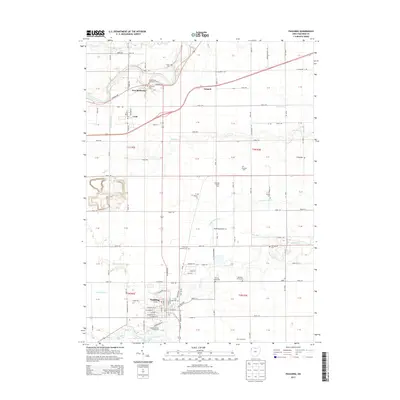
2013 Map of Paulding
USGS Topo · Published 2013About this map
Paulding serves as the focal point of this Northwest Ohio landscape, where the town’s grid meets the Paulding County Fairgrounds and Opossum Run. To the north, the Maumee River cuts across the corner of the map near New Rochester and Emmett, reflecting the area's river-linked heritage. The map is particularly rich in genealogical landmarks, documenting numerous rural burying grounds including Rochester Cem, Immaculate Conception Cem, and the Pleasant Grove Cem.
Find a feature on this map
81 named features on this map. Tap any name to fly to it.
Don’t see what you’re looking for? This feature index may not catch every label — zoom into the map to look around manually.
Map Details
Editions of this 2013 Paulding Map
This is the sole edition of this map. No revisions or reprints were ever made.
Other maps of this area

1907 · Defiance
USGS Topo · 1:62,500

1909 · Defiance
USGS Topo · 1:62,500

1909 · Continental
USGS Topo · 1:62,500

1914 · Bryan
USGS Topo · 1:62,500

1914 · Paulding
USGS Topo · 1:62,500

1943 · Bryan
USGS Topo · 1:62,500

1944 · Paulding
USGS Topo · 1:62,500

1953 · Fort Wayne
USGS Topo · 1:250,000

1956 · Fort Wayne
USGS Topo · 1:250,000

1960 · Sherwood
USGS Topo · 1:24,000