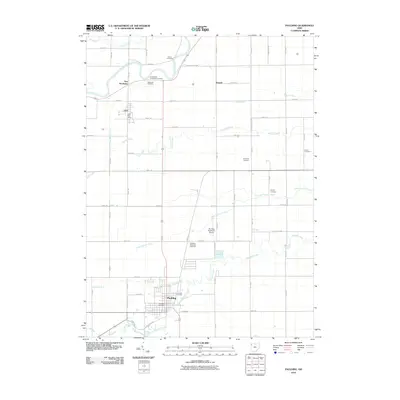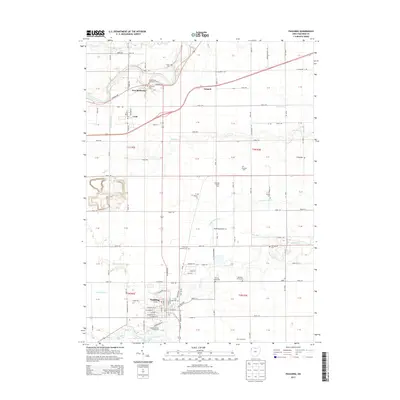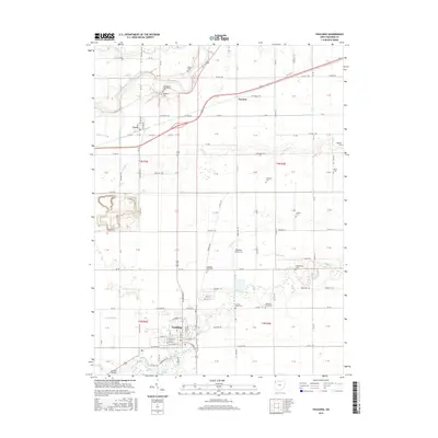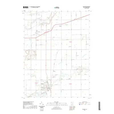
2023 Map of Paulding
USGS Topo · Published 2023About this map
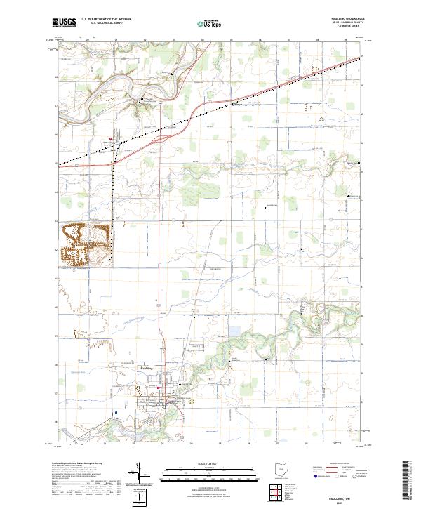
The Paulding County Courthouse and its Annex anchor the town of Paulding, serving as the civic heart of this rural landscape. The surrounding countryside is defined by the winding course of Flatrock Creek and the Maumee River, which cuts through the northwest corner near the settlement of Cecil. This 2023 survey illustrates a deeply rooted community, marked by an unusually high density of small family and township burial grounds, including Eaton Cem, Rochester Cem, and Up the Grove Cem. The map traces the transition from the concentrated street grid of the county seat to the expansive agricultural tracts divided by a network of rural routes like Co HWY 111 and Old Us HWY 24. These roads follow the historical path of transport along water bodies such as Sixmile Creek and Little Flatrock Creek, highlighting how early drainage and settlement patterns continue to shape the modern geography of the region.
Find a feature on this map
78 named features on this map. Tap any name to fly to it.
Don’t see what you’re looking for? This feature index may not catch every label — zoom into the map to look around manually.
Map Details
Editions of this 2023 Paulding Map
This is the sole edition of this map. No revisions or reprints were ever made.
Historical Maps of Paulding Through Time
8 maps found