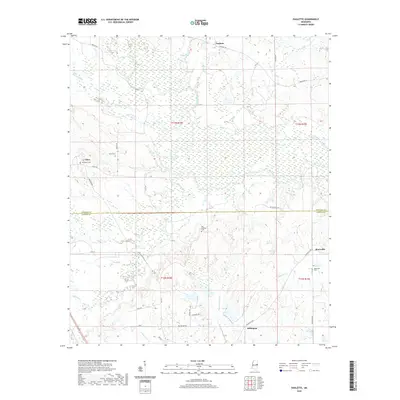
2020 Map of Paulette
USGS Topo · Published 2020About this map
The Noxubee River winds through this rural landscape at the border of Noxubee and Kemper counties, defining a region characterized by numerous tributary streams and small, dispersed settlements. Small communities like Calyx, Millington, and Paulette are connected by a network of local roads such as Paulette Rd and Binnsville Rd. The presence of several historic burial sites, including Old Wahalak Cem and Binnsville Cem, provides a map of early family settlement patterns near the banks of Wahalak Cr and Shuqualak Cr. This survey documents the modern layout of these traditional agricultural and timber lands, showing the path of Old 45 as it traverses the western portion of the quadrangle. Researchers can trace the enduring geography of the Old Wahalak area, where the terrain is heavily influenced by the meandering Shy Hammock Cr and Hatchet Cr drainage systems.
Find a feature on this map
35 named features on this map. Tap any name to fly to it.
Don’t see what you’re looking for? This feature index may not catch every label — zoom into the map to look around manually.
Map Details
Editions of this 2020 Paulette Map
This is the sole edition of this map. No revisions or reprints were ever made.
Other maps of this area

1953 · Meridian
USGS Topo · 1:250,000

1953 · West Point
USGS Topo · 1:250,000

1957 · Meridian
USGS Topo · 1:250,000

1958 · West Point
USGS Topo · 1:250,000

1962 · Shuqualak
USGS Topo · 1:24,000

1963 · West Point
USGS Topo · 1:250,000

1963 · Townsend
USGS Topo · 1:24,000

1965 · Meridian
USGS Topo · 1:250,000

1973 · Panola
USGS Topo · 1:24,000

1973 · Scooba
USGS Topo · 1:24,000