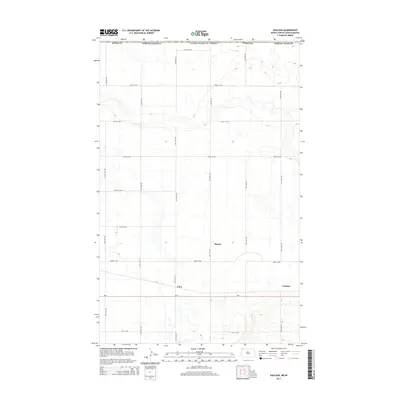
2014 Map of Paulson
USGS Topo · Published 2014About this map
Paulson, Bounty, and Juno anchor this 2014 survey of Divide County, just south of the international boundary between the United States of America and Canada. The landscape is defined by a rigorous section-line road network, including 114th Ave NW and 103rd St NW, which segment the prairie into a grid of agricultural and transport corridors. The southern portion of the map is dominated by the east-west route of ND-5, a primary arterial connector for the local community.
Find a feature on this map
21 named features on this map. Tap any name to fly to it.
Don’t see what you’re looking for? This feature index may not catch every label — zoom into the map to look around manually.
Map Details
Editions of this 2014 Paulson Map
This is the sole edition of this map. No revisions or reprints were ever made.
Other maps of this area

1947 · Noonan
USGS Topo · 1:24,000

1948 · Crosby
USGS Topo · 1:24,000

1948 · Crosby SE
USGS Topo · 1:24,000

1949 · Paulson
USGS Topo · 1:24,000

1949 · Noonan SW
USGS Topo · 1:24,000

1949 · Noonan SE
USGS Topo · 1:24,000

1949 · Noonan
USGS Topo · 1:24,000

1950 · Crosby
USGS Topo · 1:62,500

1950 · Noonan
USGS Topo · 1:62,500

1953 · Williston
USGS Topo · 1:250,000