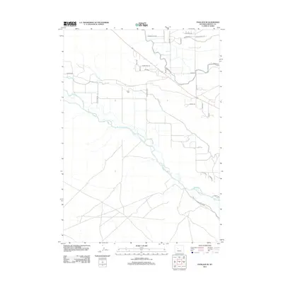
2012 Map of Pavillion SE
USGS Topo · Published 2012About this map
The Wind River carves a braided path through this high-desert landscape in central Wyoming, defining a terrain shaped by early 21st-century irrigation and ranching. The map reveals an intricate network of man-made waterways essential to the region's agriculture, including the substantial Leclair Canal and the Pilot Canal, which draw from the river to support the surrounding fields. These canals run roughly parallel to the river's course, illustrating the technical efforts required to manage water in the arid Buckhorn Flats area.
Find a feature on this map
31 named features on this map. Tap any name to fly to it.
Don’t see what you’re looking for? This feature index may not catch every label — zoom into the map to look around manually.
Map Details
Editions of this 2012 Pavillion SE Map
This is the sole edition of this map. No revisions or reprints were ever made.
Other maps of this area

1950 · Pavillion
USGS Topo · 1:24,000

1950 · Ocean Lake
USGS Topo · 1:24,000

1951 · Mule Butte
USGS Topo · 1:24,000

1951 · Pavillion SE
USGS Topo · 1:24,000

1951 · Riverton West
USGS Topo · 1:24,000

1952 · Lost Wells Butte
USGS Topo · 1:24,000

1952 · Hudson
USGS Topo · 1:24,000

1952 · Lander NW
USGS Topo · 1:24,000

1953 · Arapahoe
USGS Topo · 1:24,000

1955 · Thermopolis
USGS Topo · 1:250,000