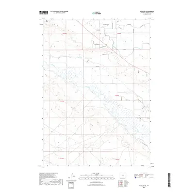
2017 Map of Pavillion SE
USGS Topo · Published 2017About this map
Wind River winds through this central Wyoming landscape, defining a network of irrigation that has sustained the region's ranching and agricultural operations for generations. The map reveals the sophisticated water management system of the Wind River Reservation area, featuring the Le clair Canal, Pilot Canal, and Lefthand Ditch. These man-made waterways cut through the arid terrain, creating a striking contrast between the irrigated valley floor and the surrounding high ground like Big Ridge. For those researching local family history, the presence of Collins Cem near the Le clair Canal offers a specific point of interest for genealogical study. The grid of rural routes, including named tracks like Triangle Ranch Rd and Buck Horn Flats RD, illustrates the late-twentieth-century settlement pattern in Fremont County.
Find a feature on this map
38 named features on this map. Tap any name to fly to it.
Don’t see what you’re looking for? This feature index may not catch every label — zoom into the map to look around manually.
Map Details
Editions of this 2017 Pavillion SE Map
This is the sole edition of this map. No revisions or reprints were ever made.
Other maps of this area

1950 · Pavillion
USGS Topo · 1:24,000

1950 · Ocean Lake
USGS Topo · 1:24,000

1951 · Mule Butte
USGS Topo · 1:24,000

1951 · Pavillion SE
USGS Topo · 1:24,000

1951 · Riverton West
USGS Topo · 1:24,000

1952 · Lost Wells Butte
USGS Topo · 1:24,000

1952 · Hudson
USGS Topo · 1:24,000

1952 · Lander NW
USGS Topo · 1:24,000

1953 · Arapahoe
USGS Topo · 1:24,000

1955 · Thermopolis
USGS Topo · 1:250,000