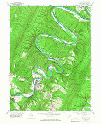
1950 Map of Paw Paw
USGS Topo · Published 1967About this map
The Potomac River winds in dramatic oxbows through the Appalachian ridges of West Virginia and Maryland on this 1950 survey. The town of Paw Paw sits at the base of Bevan Hill, where the Baltimore and Ohio Railroad traces the riverbank alongside the Chesapeake and Ohio Canal (Abandoned). This landscape is a crossroads of nineteenth-century transportation infrastructure, showing the parallel paths of the canal and the Western Maryland Railway as they navigate the narrow water gaps.
Find a feature on this map
53 named features on this map. Tap any name to fly to it.
Don’t see what you’re looking for? This feature index may not catch every label — zoom into the map to look around manually.
Map Details
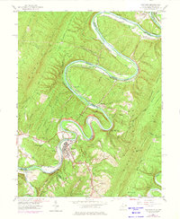
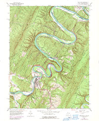
Editions of this 1950 Paw Paw Map
3 editions found
Other maps of this area

1891 · Romney
USGS Topo · 1:125,000

1894 · Winchester
USGS Topo · 1:125,000

1898 · Paw Paw
USGS Topo · 1:62,500

1899 · Flintstone
USGS Topo · 1:62,500

1900 · Pawpaw
USGS Topo · 1:62,500

1900 · Flintstone
USGS Topo · 1:62,500

1910 · Paw Paw
USGS Topo · 1:62,500

1916 · Capon Bridge
USGS Topo · 1:62,500

1921 · Hanging Rock
USGS Topo · 1:48,000

1923 · Capon Bridge
USGS Topo · 1:62,500