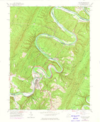
1950 Map of Paw Paw
USGS Topo · Published 1975About this map
The Potomac River dominates this mid-century landscape as it winds through the serpentine Bevan Bend, defining the border between Maryland and West Virginia. The town of Paw Paw serves as a central hub, situated near the dramatic geography of Bevan Hill and Paw Paw Ridge. The map reveals a complex infrastructure of transportation and industry from an earlier era, featuring the Chesapeake and Ohio Canal and the parallel tracks of the Baltimore and Ohio and Western Maryland railroads.
Find a feature on this map
79 named features on this map. Tap any name to fly to it.
Don’t see what you’re looking for? This feature index may not catch every label — zoom into the map to look around manually.
Map Details
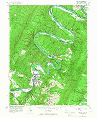
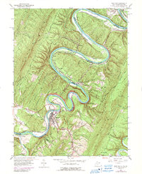
Editions of this 1950 Paw Paw Map
3 editions found
Other maps of this area

1891 · Romney
USGS Topo · 1:125,000

1894 · Winchester
USGS Topo · 1:125,000

1898 · Paw Paw
USGS Topo · 1:62,500

1899 · Flintstone
USGS Topo · 1:62,500

1900 · Pawpaw
USGS Topo · 1:62,500

1900 · Flintstone
USGS Topo · 1:62,500

1910 · Paw Paw
USGS Topo · 1:62,500

1916 · Capon Bridge
USGS Topo · 1:62,500

1921 · Hanging Rock
USGS Topo · 1:48,000

1923 · Capon Bridge
USGS Topo · 1:62,500