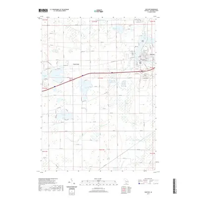
2019 Map of Paw Paw
USGS Topo · Published 2019About this map
Paw Paw serves as the regional anchor for this part of Michigan, centered on the Van Buren County Courthouse and bounded by the waters of Maple Lake and the S Br Paw Paw River. The landscape is defined by an intricate network of drainage and water bodies, reflecting a complex glacial hydrology that includes Eagle Lake, Popendick Lake, and Lake Cora. This 2019 survey documents the enduring agricultural and residential grid, where family-named landmarks like Teapot Dome and Prospect Hill rise above the surrounding plains. For genealogists, the map provides precise locations for several burial grounds, including the centrally located Pioneer Cem and the more remote Wildey Cem and Threemile Cem, which sit alongside historic transit routes like Red Arrow Hwy.
Find a feature on this map
79 named features on this map. Tap any name to fly to it.
Don’t see what you’re looking for? This feature index may not catch every label — zoom into the map to look around manually.
Map Details
Editions of this 2019 Paw Paw Map
This is the sole edition of this map. No revisions or reprints were ever made.
Other maps of this area

1927 · Hartford
USGS Topo · 1:62,500

1927 · Bangor
USGS Topo · 1:62,500

1931 · Bangor
USGS Topo · 1:62,500

1931 · Hartford
USGS Topo · 1:62,500

1943 · Bangor
USGS Topo · 1:62,500

1944 · Marcellus
USGS Topo · 1:62,500

1946 · Marcellus
USGS Topo · 1:62,500

1946 · Gobles
USGS Topo · 1:62,500

1948 · Gobles
USGS Topo · 1:62,500

1949 · Gobles
USGS Topo · 1:62,500