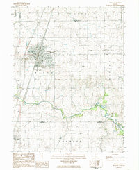
1984 Map of Paxton
USGS Topo · Published 1985About this map
The city of Paxton serves as the focal point of this mid-1980s survey, where the intersection of the Norfolk and Western and Illinois Central Gulf railroads underscores the community's historical development as a rail hub. The landscape is defined by extensive agricultural drainage systems, including the Special Drainage Ditch and the Big Four Ditch, which channel water toward the Middle Fork Vermilion River. Genealogical researchers will find a high density of rural burial sites, such as Trickle Grove Cem, Hall Cem, and Huffman Cem, scattered across the surrounding townships of Patton and Button. The presence of the Maiding Landing Strip and various gravel operations like the Gr & Sand Pit reflect the local economy and infrastructure in Ford Co just before the turn of the 21st century.
Find a feature on this map
40 named features on this map. Tap any name to fly to it.
Don’t see what you’re looking for? This feature index may not catch every label — zoom into the map to look around manually.
Map Details
Editions of this 1984 Paxton Map
This is the sole edition of this map. No revisions or reprints were ever made.
Other maps of this area

1924 · Paxton
USGS Topo · 1:62,500

1927 · Paxton
USGS Topo · 1:62,500

1936 · Potomac
USGS Topo · 1:62,500

1939 · Cissna Park
USGS Topo · 1:62,500

1948 · Buckley
USGS Topo · 1:62,500

1949 · Cissna Park
USGS Topo · 1:62,500

1949 · Buckley
USGS Topo · 1:62,500

1949 · Paxton
USGS Topo · 1:62,500

1953 · Danville
USGS Topo · 1:250,000

1955 · Danville
USGS Topo · 1:250,000