Loading...
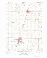
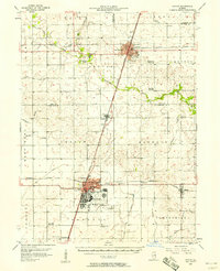
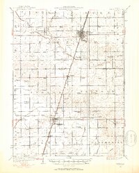
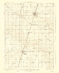
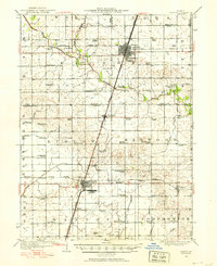
Loading map...1957 Map of Paxton
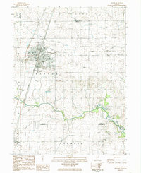
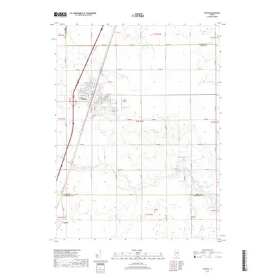
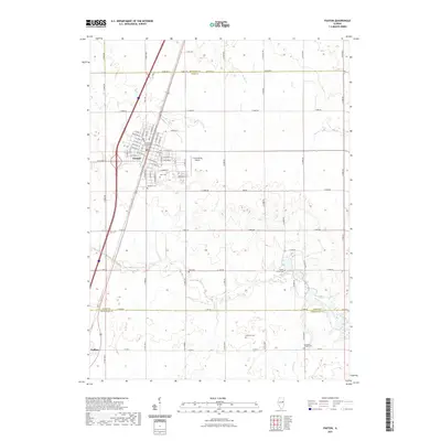
USGS Topo · Published 1976About this map
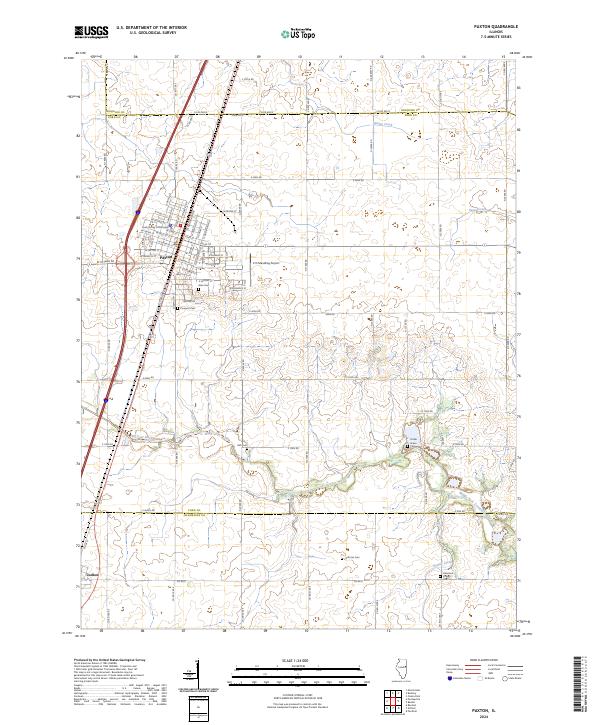
Chanute Air Force Base dominates the southern portion of this landscape, its structured runways and facility layout contrasting with the surrounding agricultural townships. The area is a network of mid-century rural life, where the Illinois Central and the New York Chicago and St Louis railroads connect established hubs like Paxton and Rantoul to smaller sidings and stations.
Find a feature on this map
56 named features on this map. Tap any name to fly to it.
Don’t see what you’re looking for? This feature index may not catch every label — zoom into the map to look around manually.
Map Details
Date Portrayed1957
Date Published1976
PublisherU.S. Geological Survey
Map TypeTopographic
Scale1:62,500
Physical Dimensions17.9 x 21.9 inches
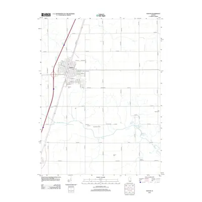
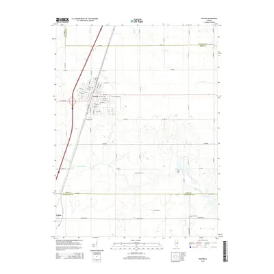
Editions of this 1957 Paxton Map
2 editions found
Historical Maps of Rantoul Through Time
10 maps found
Featured Locations
Source Details
SourceU.S. Geological Survey
CopyrightPublic Domain