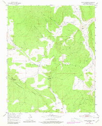
1952 Map of Paxton Springs
USGS Topo · Published 1981About this map
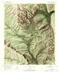
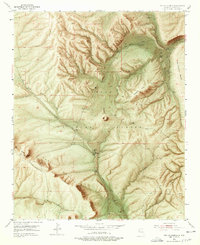
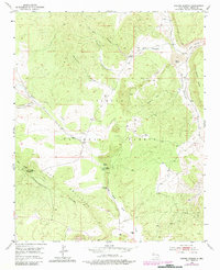
The Continental Divide winds through the high terrain of the Zuni Mountains, shaping a landscape defined by significant elevation changes and seasonal watercourses. This area within the Cibola National Forest showcases the complex topography of the Oso Ridge, which is crowned by the Oso Ridge Lookout Tower. The settlement of Paxton Springs serves as a focal point in the central valley, situated near the waters of Paxton Spring and the drainage of Agua Fria Creek.
Find a feature on this map
20 named features on this map. Tap any name to fly to it.
Don’t see what you’re looking for? This feature index may not catch every label — zoom into the map to look around manually.
Map Details
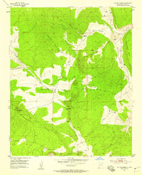
Editions of this 1952 Paxton Springs Map
8 editions found

Other maps of this area

1883 · Mt. Taylor
USGS Topo · 1:250,000

1886 · Wingate
USGS Topo · 1:250,000

1886 · Mt. Taylor
USGS Topo · 1:250,000

1892 · Wingate
USGS Topo · 1:250,000

1892 · Mt. Taylor
USGS Topo · 1:250,000

1899 · Mt. Taylor
USGS Topo · 1:250,000

1917 · Broom Mountain
USGS Topo · 1:125,000

1951 · Mt Sedgwick
USGS Topo · 1:24,000

1952 · Valle Largo
USGS Topo · 1:24,000

1952 · Post Office Flat
USGS Topo · 1:24,000