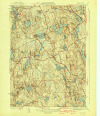
1941 Map of Paxton
USGS Topo · Published 1941About this map
Asnebumskit Hill and its surrounding ridge lines anchor this central Massachusetts landscape, where the town of Paxton serves as a geographic crossroads. Surveyed in 1937, the map illustrates a region transitioning from its industrial roots toward healthcare and recreation. The industrial legacy is visible in Upper Wire Village and Lower Wire Village to the south, while the northern territory is defined by institutional land use, including the State Sanatorium and a sprawling Veterans Hospital near Rutland Heights.
Find a feature on this map
69 named features on this map. Tap any name to fly to it.
Don’t see what you’re looking for? This feature index may not catch every label — zoom into the map to look around manually.
Map Details
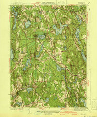
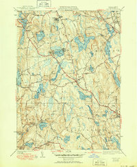
Editions of this 1941 Paxton Map
3 editions found
Other maps of this area

1885 · Worcester
USGS Topo · 1:62,500

1886 · Worcester
USGS Topo · 1:62,500

1887 · Brookfield
USGS Topo · 1:62,500

1887 · Barre
USGS Topo · 1:62,500

1889 · Webster
USGS Topo · 1:62,500

1889 · Barre
USGS Topo · 1:62,500

1890 · Brookfield
USGS Topo · 1:62,500

1892 · Webster
USGS Topo · 1:62,500

1892 · Worcester
USGS Topo · 1:62,500

1893 · Brookfield
USGS Topo · 1:62,500