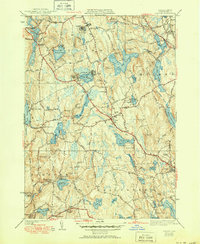
1941 Map of Paxton
USGS Topo · Published 1951About this map
Paxton and its neighboring Worcester County townships are defined by a high upland landscape of reservoirs and institutions in this mid-century survey. The terrain is marked by prominent elevations like Asnebumskit Hill and Turkey Hill, which overlook a complex water management system including Pine Hill Reservoir, Kendall Reservoir, and the Holden Reservoirs. Large-scale facilities such as the Veterans Hospital and State Sanitorium occupy the north, while smaller communities like Rutland Heights and the lakeside development at Turkey Hill Shores reflect the area's residential growth.
Find a feature on this map
113 named features on this map. Tap any name to fly to it.
Don’t see what you’re looking for? This feature index may not catch every label — zoom into the map to look around manually.
Map Details
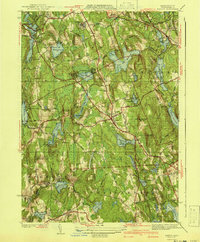
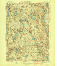
Editions of this 1941 Paxton Map
3 editions found
Other maps of this area

1885 · Worcester
USGS Topo · 1:62,500

1886 · Worcester
USGS Topo · 1:62,500

1887 · Brookfield
USGS Topo · 1:62,500

1887 · Barre
USGS Topo · 1:62,500

1889 · Webster
USGS Topo · 1:62,500

1889 · Barre
USGS Topo · 1:62,500

1890 · Brookfield
USGS Topo · 1:62,500

1892 · Webster
USGS Topo · 1:62,500

1892 · Worcester
USGS Topo · 1:62,500

1893 · Brookfield
USGS Topo · 1:62,500