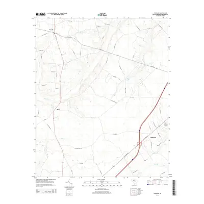
2014 Map of Paxville
USGS Topo · Published 2014About this map
Paxville serves as the primary hub in this portion of Clarendon County, situated where the Paxville Hwy intersects with local routes like Scott Ave and Lewis Rd. The landscape is defined by an intricate network of wetlands and small watercourses, notably the broad reach of Sammy Swamp and the drainage of Big Br. These natural features have historically shaped local movement and land use, seen in the winding path of Sammy Swamp Rd and the placement of the Home Branch Cem near W J Jackson Pond.
Find a feature on this map
63 named features on this map. Tap any name to fly to it.
Don’t see what you’re looking for? This feature index may not catch every label — zoom into the map to look around manually.
Map Details
Editions of this 2014 Paxville Map
This is the sole edition of this map. No revisions or reprints were ever made.
Other maps of this area

1920 · Mayesville
USGS Topo · 1:48,000

1920 · Manning
USGS Topo · 1:48,000

1921 · Manning
USGS Topo · 1:62,500

1921 · Mayesville
USGS Topo · 1:62,500

1943 · Mayesville
USGS Topo · 1:62,500

1944 · Manning
USGS Topo · 1:62,500

1946 · Sumter
USGS Topo · 1:62,500

1954 · Augusta
USGS Topo · 1:250,000

1957 · Sumter
USGS Topo · 1:62,500

1957 · Augusta
USGS Topo · 1:250,000