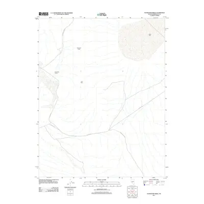
2011 Map of Paymaster Ridge
USGS Topo · Published 2011About this map
Alkali Lake dominates the northeastern corner of this arid landscape in Esmeralda County, providing a stark geographic marker in a region defined by high ridges and alluvial fans. Water sources are scarce but significant, with Pearl Hot Springs and Twin Springs serving as vital landmarks in the dry desert terrain. The topography is anchored by the prominent Paymaster Ridge and Joes Peak, which overlook the deep incision of Paymaster Canyon.
Find a feature on this map
10 named features on this map. Tap any name to fly to it.
Don’t see what you’re looking for? This feature index may not catch every label — zoom into the map to look around manually.
Map Details
Editions of this 2011 Paymaster Ridge Map
This is the sole edition of this map. No revisions or reprints were ever made.
Other maps of this area

1898 · Silver Peak
USGS Topo · 1:125,000

1900 · Silver Peak
USGS Topo · 1:125,000

1908 · Lida
USGS Topo · 1:250,000

1913 · Lida
USGS Topo · 1:250,000

1945 · Goldfield
USGS Topo · 1:125,000

1954 · Goldfield
USGS Topo · 1:250,000

1955 · Goldfield
USGS Topo · 1:250,000

1958 · Goldfield
USGS Topo · 1:250,000

1962 · Goldfield
USGS Topo · 1:250,000

1963 · Silver Peak
USGS Topo · 1:62,500