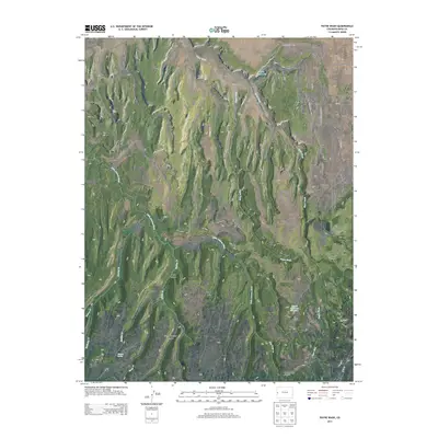
2013 Map of Payne Wash
USGS Topo · Published 2013About this map
Glade Park anchors the high plateau of western Mesa County, where the high-altitude desert is carved by a complex network of seasonal washes and steep-walled canyons. The landscape is defined by the Little Dolores River, which snakes through the central portion of the map, and the namesake Payne Wash that drains toward the north. Cultural markers of early 21st-century land use are evident in the scattered reservoirs such as Lane Reservoir and Duvall Reservoir Number 1, which supported local ranching and water management in this arid environment.
Find a feature on this map
33 named features on this map. Tap any name to fly to it.
Don’t see what you’re looking for? This feature index may not catch every label — zoom into the map to look around manually.
Map Details
Editions of this 2013 Payne Wash Map
This is the sole edition of this map. No revisions or reprints were ever made.
Other maps of this area

1934 · Colorado National Monument
USGS Topo · 1:24,000

1956 · Moab
USGS Topo · 1:250,000

1956 · Grand Junction
USGS Topo · 1:250,000

1959 · Grand Junction
USGS Topo · 1:250,000

1959 · Moab
USGS Topo · 1:250,000

1960 · Moab
USGS Topo · 1:250,000

1960 · Grand Junction
USGS Topo · 1:250,000

1962 · Moab
USGS Topo · 1:250,000

1962 · Grand Junction
USGS Topo · 1:250,000

1962 · Colorado National Monument
USGS Topo · 1:24,000