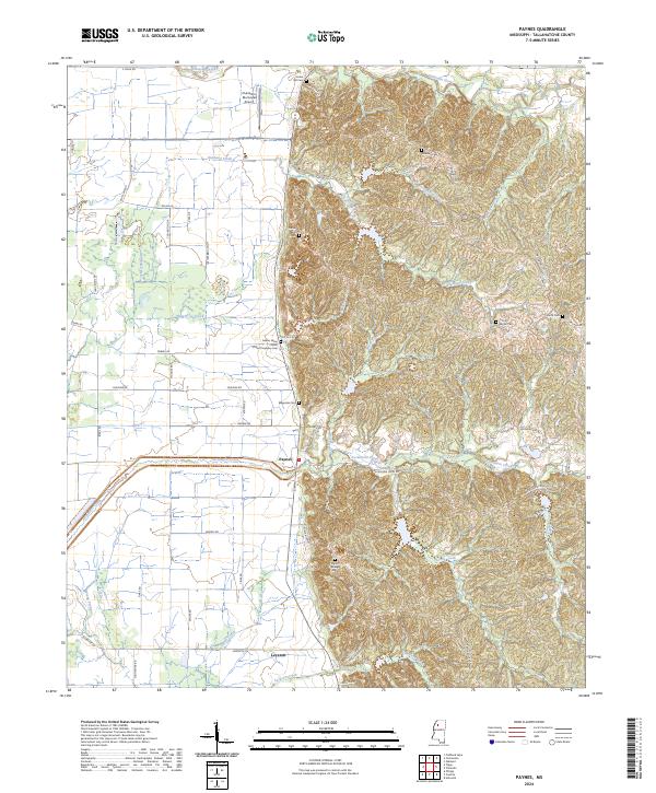
2024 Map of Paynes
USGS Topo · Published 2024About this map
The community of Paynes sits at the foot of the hill country where the Mississippi Delta floor meets the rising terrain of the north-central hills. This transition is marked by the course of Ascalmore Creek and Shook Creek, which flow westward out of the highlands. To the south, the settlement of Leverett is situated near Jackson Creek and Taylor Creek, while the northern portion of the quadrangle is defined by the Tillatoba Creek drainage and the Charleston Municipal Airport.
Find a feature on this map
65 named features on this map. Tap any name to fly to it.
Don’t see what you’re looking for? This feature index may not catch every label — zoom into the map to look around manually.
Map Details
Editions of this 2024 Paynes Map
This is the sole edition of this map. No revisions or reprints were ever made.
Other maps of this area

1932 · Philipp
USGS Topo · 1:48,000

1935 · Crowder
USGS Topo · 1:62,500

1935 · Philipp
USGS Topo · 1:62,500

1939 · Crowder
USGS Topo · 1:62,500

1939 · Philipp
USGS Topo · 1:62,500

1948 · Helena
USGS Topo · 1:250,000

1950 · Helena
USGS Topo · 1:250,000

1953 · Greenwood
USGS Topo · 1:250,000

1953 · West Point
USGS Topo · 1:250,000

1954 · Grenada
USGS Topo · 1:62,500