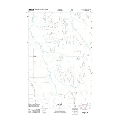
2011 Map of Paynesville
USGS Topo · Published 2011About this map
The Middle Branch Ontonagon River and East Branch Ontonagon River define this portion of Interior Township, where a network of forest roads and small creeks crisscross the Michigan landscape. The settlement of Paynesville serves as a primary point of reference, accompanied by North Paynesville and the Paynesville Cemetery to the south. This area is characterized by its dense water system, including the winding paths of Trout Creek, Longtime Creek, and Slough Creek. Local infrastructure is marked by named thoroughfares like Keeler Hill Rd and Gardner Rd, which provide access to the surrounding timberlands and small water bodies such as Jack Pine Lake. The map reveals a post-industrial rural pattern where legacy road names like Blacksmith Rd hint at former local trades amidst a landscape now dominated by natural drainage and forest service access.
Find a feature on this map
26 named features on this map. Tap any name to fly to it.
Don’t see what you’re looking for? This feature index may not catch every label — zoom into the map to look around manually.
Map Details
Editions of this 2011 Paynesville Map
This is the sole edition of this map. No revisions or reprints were ever made.
Other maps of this area

1949 · Rockland
USGS Topo · 1:62,500

1951 · Rockland
USGS Topo · 1:62,500

1952 · Watersmeet
USGS Topo · 1:62,500

1954 · Rousseau
USGS Topo · 1:62,500

1954 · Kenton
USGS Topo · 1:62,500

1958 · Iron River
USGS Topo · 1:250,000

1960 · Iron River
USGS Topo · 1:250,000

1961 · Iron River
USGS Topo · 1:250,000

1967 · Iron River
USGS Topo · 1:250,000

1979 · Ontonagon
USGS Topo · 1:100,000