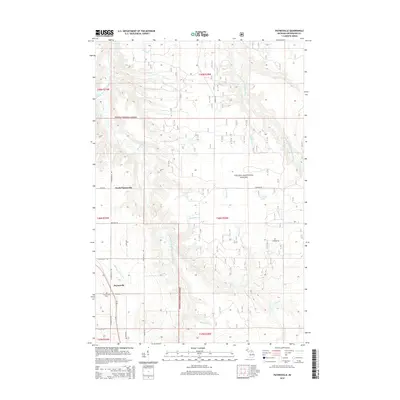
2014 Map of Paynesville
USGS Topo · Published 2014About this map
Paynesville and North Paynesville sit within the wooded expanse of the Ottawa National Forest in Michigan's Upper Peninsula. This area is defined by a dense network of tributaries including Middle Branch Ontonagon River and the East Branch Ontonagon River, which carve through the township. The landscape shows a clear grid of forestry and local access roads like N Paynesville Rd and Keeler Hill Rd, pointing to the region's historical and ongoing ties to timber and rural transit. Local history is anchored at the Paynesville Cem located south of the main settlement. Small water features like Jack Pine Lake and numerous named creeks such as Trout Creek and Mile and One-half Cr illustrate the complex drainage patterns that dominate this forest terrain.
Find a feature on this map
41 named features on this map. Tap any name to fly to it.
Don’t see what you’re looking for? This feature index may not catch every label — zoom into the map to look around manually.
Map Details
Editions of this 2014 Paynesville Map
This is the sole edition of this map. No revisions or reprints were ever made.
Other maps of this area

1949 · Rockland
USGS Topo · 1:62,500

1951 · Rockland
USGS Topo · 1:62,500

1952 · Watersmeet
USGS Topo · 1:62,500

1954 · Rousseau
USGS Topo · 1:62,500

1954 · Kenton
USGS Topo · 1:62,500

1958 · Iron River
USGS Topo · 1:250,000

1960 · Iron River
USGS Topo · 1:250,000

1961 · Iron River
USGS Topo · 1:250,000

1967 · Iron River
USGS Topo · 1:250,000

1979 · Ontonagon
USGS Topo · 1:100,000