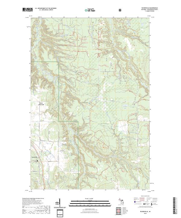
2023 Map of Paynesville
USGS Topo · Published 2023About this map
Paynesville and its neighbor North Paynesville anchor the western portion of this landscape, situated within the expansive Ottawa National Forest. The area is defined by a dense network of forest service trails and timber roads, such as Nfst-831 Trl and Nfst-851 Trl, which navigate the drainage basins of several important waterways. The Middle Branch Ontonagon River and the East Branch Ontonagon River carve through the terrain, with a specific segment designated as the Ontonagon Wild and Scenic River.
Find a feature on this map
82 named features on this map. Tap any name to fly to it.
Don’t see what you’re looking for? This feature index may not catch every label — zoom into the map to look around manually.
Map Details
Editions of this 2023 Paynesville Map
This is the sole edition of this map. No revisions or reprints were ever made.
Other maps of this area
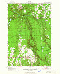
1949 · Rockland
USGS Topo · 1:62,500
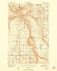
1951 · Rockland
USGS Topo · 1:62,500
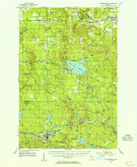
1952 · Watersmeet
USGS Topo · 1:62,500
1954 · Rousseau
USGS Topo · 1:62,500
1954 · Kenton
USGS Topo · 1:62,500

1958 · Iron River
USGS Topo · 1:250,000
1960 · Iron River
USGS Topo · 1:250,000
1961 · Iron River
USGS Topo · 1:250,000
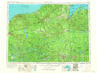
1967 · Iron River
USGS Topo · 1:250,000
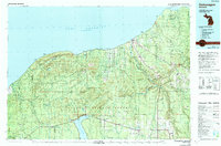
1979 · Ontonagon
USGS Topo · 1:100,000