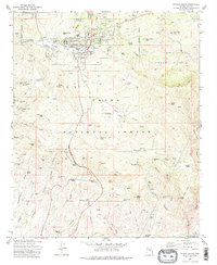
1973 Map of Payson South
USGS Topo · Published 1975About this map
Payson serves as the hub of this mid-1970s landscape, positioned within the Tonto National Forest and bordered by an Indian Reservation. The map captures a moment of growth for the community, showing the Shopping Center, Hospital, and schools such as Julia Randall Sch alongside the Payson Country Club. The historical layers of Gila County are visible in the Ft McDonald (Ruins) and the Payson Cem, while the industrial past is marked by numerous mineral claims. A cluster of operations including the Golden Wonder Mine, Pay Rock Mine, and Silver King Mine dot the terrain to the west. The physical geography is defined by a complex network of drainages like American Gulch and Stewart Creek, leading into the prominent Stewart Pocket and the heights of Monument Peak. This survey provides a clear view of the area's transition from a mining and ranching frontier to a more established high-country settlement.
Find a feature on this map
79 named features on this map. Tap any name to fly to it.
Don’t see what you’re looking for? This feature index may not catch every label — zoom into the map to look around manually.
Map Details
Editions of this 1973 Payson South Map
2 editions found
Other maps of this area

1887 · Verde
USGS Topo · 1:250,000

1892 · Verde
USGS Topo · 1:250,000

1934 · Pine
USGS Topo · 1:62,500

1934 · Promontory Butte
USGS Topo · 1:62,500

1936 · Payson
USGS Topo · 1:48,000

1937 · Diamond Butte
USGS Topo · 1:48,000

1939 · Promontory Butte
USGS Topo · 1:62,500

1940 · Pine
USGS Topo · 1:62,500

1942 · Payson
USGS Topo · 1:62,500

1943 · Diamond Butte
USGS Topo · 1:62,500