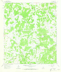
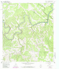
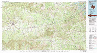
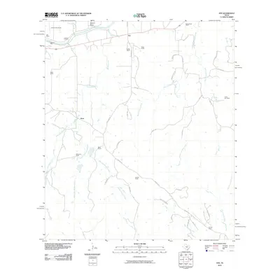
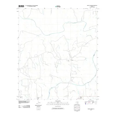
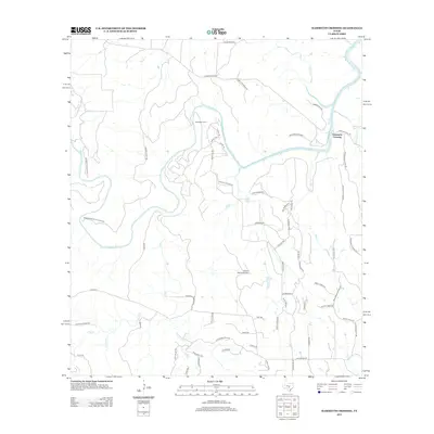
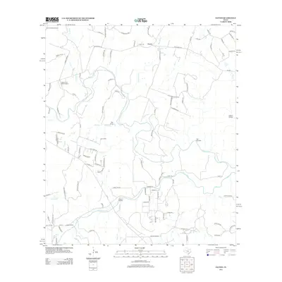
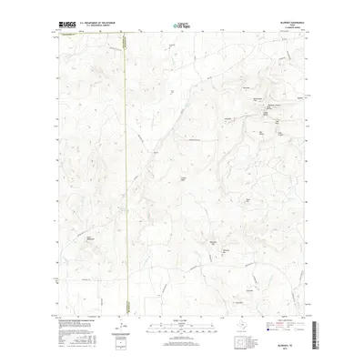
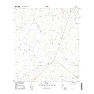
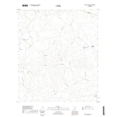
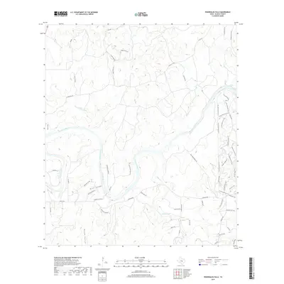
1963 Map of Payton
USGS Topo · Published 1973About this map
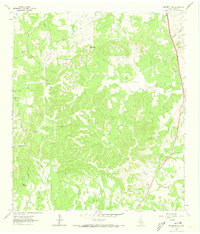
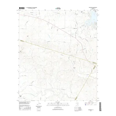
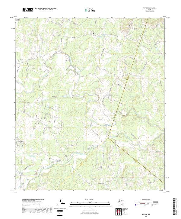
The Payton community and its surrounding hill country ranchlands are captured here in the early 1960s, centered at the intersection of the Blanco Co Hays Co line. The map reveals a landscape defined by sharp drainage patterns and essential water sources, notably The Narrows along the Blanco River. Local genealogy and settlement history are centered on the Payton Cem and the combined facility of the Mt Horche Ch Payton Sch, illustrating the traditional overlap of faith and education in rural Texas. The terrain is marked by numerous named draws and hollows, such as Chimney Valley and Greens Hollow, while the presence of a Pipeline and several Gravel Pits indicates the encroaching influence of utility infrastructure and local industry upon the ranching geography.
Find a feature on this map
25 named features on this map. Tap any name to fly to it.
Don’t see what you’re looking for? This feature index may not catch every label — zoom into the map to look around manually.
Map Details
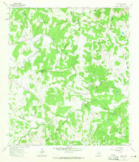
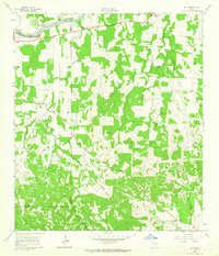
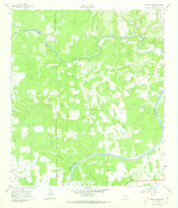
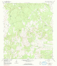
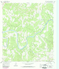
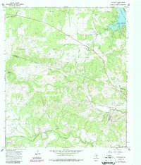
Editions of this 1963 Payton Map
3 editions found
Historical Maps of Payton Through Time
61 maps found
1961 Hye
Blanco County, TX
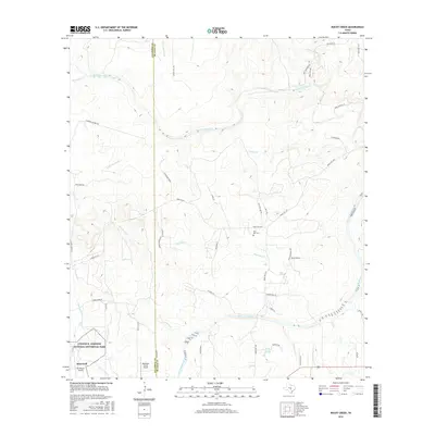
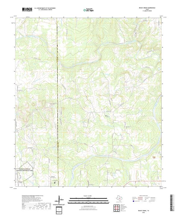
1961 Rocky Creek
Blanco County, TX
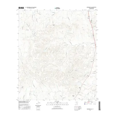
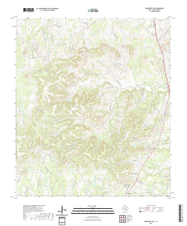
1963 Monument Hill
Blanco County, TX
1963 Payton
Blanco County, TX
1963 Yeager Creek
Blanco County, TX
1967 Blowout
Blanco County, TX
1967 Hammetts Crossing
Blanco County, TX
1967 Howell Mountain
Blanco County, TX
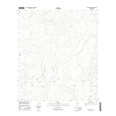
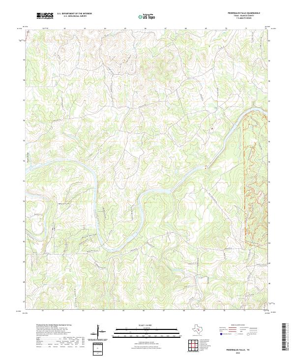
1967 Pedernales Falls
Blanco County, TX
1967 Spicewood
Blanco County, TX
1985 Pedernales River
Blanco County, TX
2010 Blowout
Blanco County, TX
2010 Hammetts Crossing
Blanco County, TX
2010 Howell Mountain
Blanco County, TX
2010 Hye
Blanco County, TX
2010 Monument Hill
Blanco County, TX
2010 Payton
Blanco County, TX
2010 Pedernales Falls
Blanco County, TX
2010 Rocky Creek
Blanco County, TX
2010 Spicewood
Blanco County, TX
2010 Yeager Creek
Blanco County, TX
2012 Blowout
Blanco County, TX
2012 Hammetts Crossing
Blanco County, TX
2012 Howell Mountain
Blanco County, TX
2012 Hye
Blanco County, TX
2012 Monument Hill
Blanco County, TX
2012 Payton
Blanco County, TX
2012 Pedernales Falls
Blanco County, TX
2012 Rocky Creek
Blanco County, TX
2012 Spicewood
Blanco County, TX

2012 Yeager Creek
Blanco County, TX
2016 Blowout
Blanco County, TX
2016 Hammetts Crossing
Blanco County, TX
2016 Howell Mountain
Blanco County, TX
2016 Hye
Blanco County, TX
2016 Monument Hill
Blanco County, TX
2016 Payton
Blanco County, TX
2016 Pedernales Falls
Blanco County, TX
2016 Rocky Creek
Blanco County, TX
2016 Spicewood
Blanco County, TX
2016 Yeager Creek
Blanco County, TX
2019 Blowout
Blanco County, TX
2019 Hammetts Crossing
Blanco County, TX
2019 Howell Mountain
Blanco County, TX
2019 Hye
Blanco County, TX
2019 Monument Hill
Blanco County, TX
2019 Payton
Blanco County, TX
2019 Pedernales Falls
Blanco County, TX
2019 Rocky Creek
Blanco County, TX
2019 Spicewood
Blanco County, TX
2019 Yeager Creek
Blanco County, TX
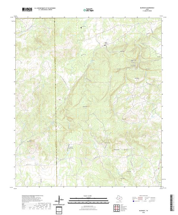
2022 Blowout
Blanco County, TX
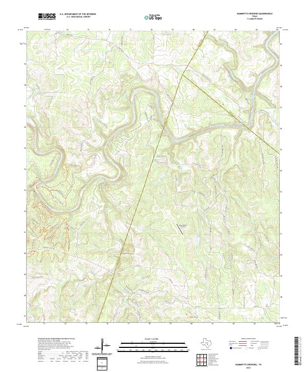
2022 Hammetts Crossing
Blanco County, TX
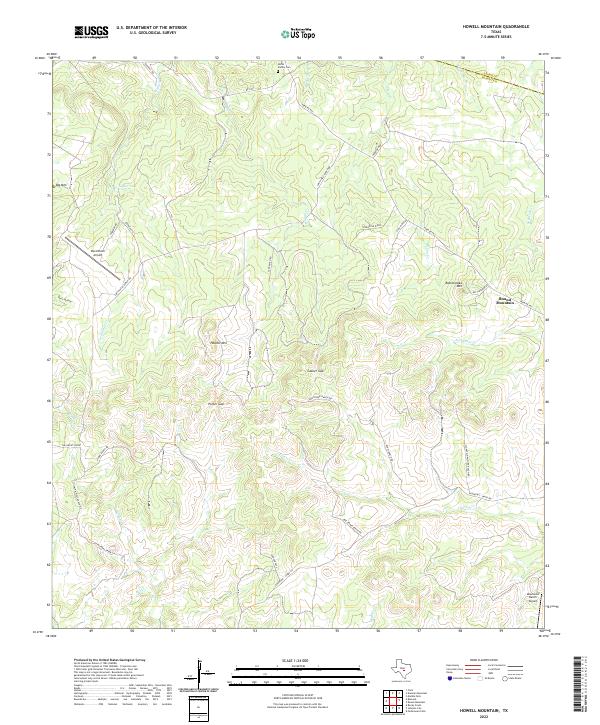
2022 Howell Mountain
Blanco County, TX
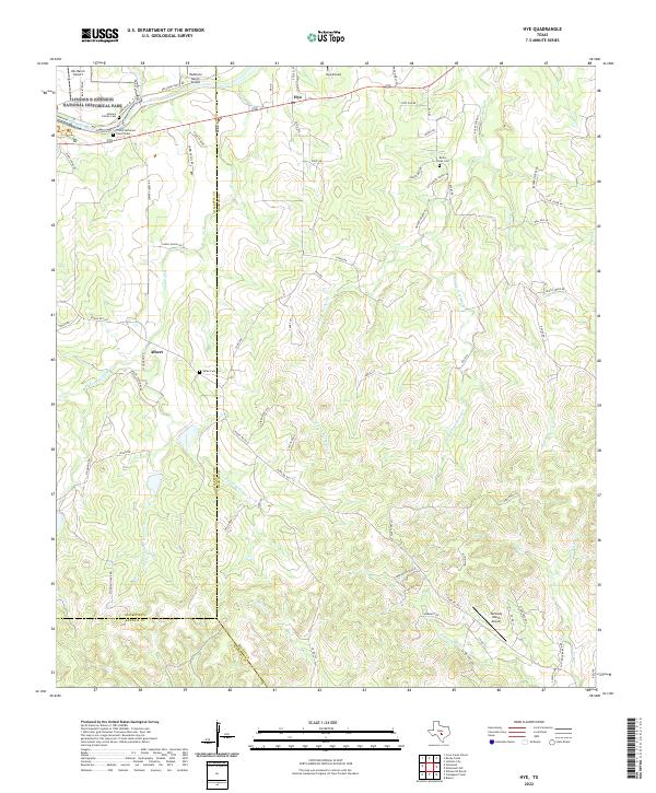
2022 Hye
Blanco County, TX
2022 Monument Hill
Blanco County, TX
2022 Payton
Blanco County, TX
2022 Pedernales Falls
Blanco County, TX
2022 Rocky Creek
Blanco County, TX
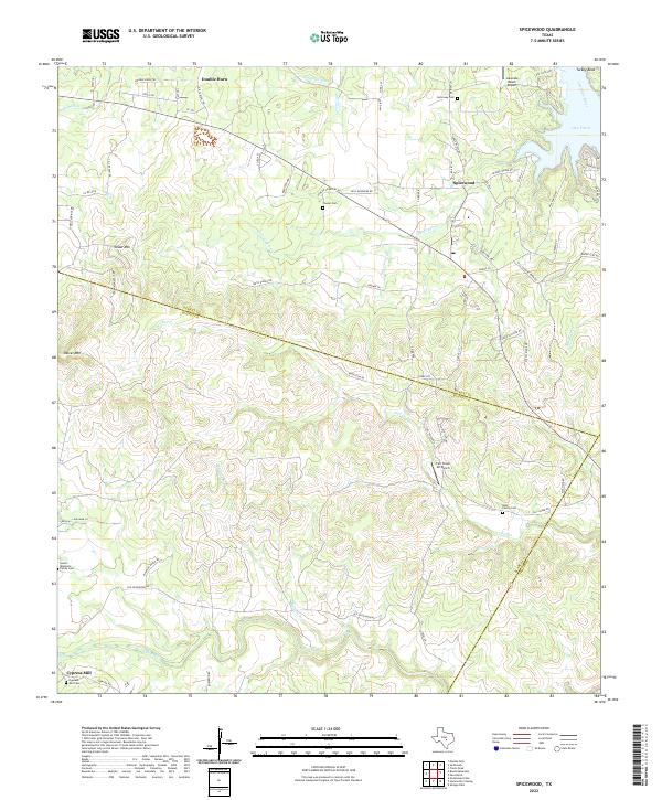
2022 Spicewood
Blanco County, TX
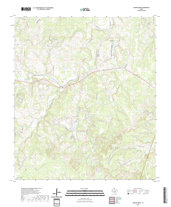
2022 Yeager Creek
Blanco County, TX