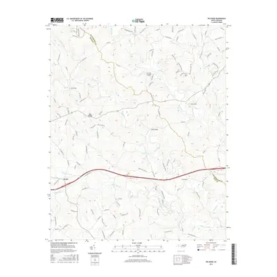
2016 Map of Pea Ridge
USGS Topo · Published 2016About this map
The Broad River and Green River converge in this section of the Piedmont, where the Rutherford Co Polk Co line divides a landscape of ridges and creek bottoms. The community of Pea Ridge sits centrally along the high ground, served by a network of rural routes like Polk Co Line Rd and Big Level Rd. Several river crossings define the local transit history, including Mills Bridge, Twitty Bridge, and Wilkins Bridge, which connect isolated homesteads and farmland across the shifting waterways.
Find a feature on this map
107 named features on this map. Tap any name to fly to it.
Don’t see what you’re looking for? This feature index may not catch every label — zoom into the map to look around manually.
Map Details
Editions of this 2016 Pea Ridge Map
This is the sole edition of this map. No revisions or reprints were ever made.
Other maps of this area

1907 · Saluda
USGS Topo · 1:125,000

1953 · Charlotte
USGS Topo · 1:250,000

1954 · Charlotte
USGS Topo · 1:250,000

1955 · Knoxville
USGS Topo · 1:250,000

1957 · Knoxville
USGS Topo · 1:250,000

1959 · Lake Lure
USGS Topo · 1:62,500

1959 · Cowpens
USGS Topo · 1:62,500

1960 · Knoxville
USGS Topo · 1:250,000

1960 · Charlotte
USGS Topo · 1:250,000

1961 · Inman
USGS Topo · 1:62,500