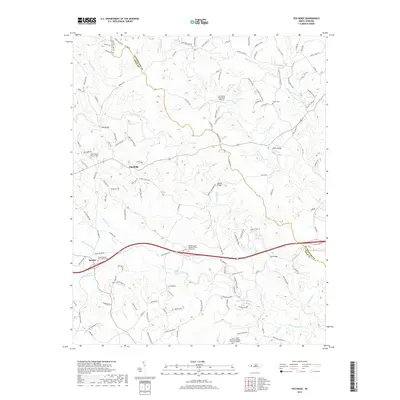
2019 Map of Pea Ridge
USGS Topo · Published 2019About this map
The rolling hills of the Rutherford and Polk County line are defined by a network of rivers and creeks that feed into the Broad River. Settled communities like Pea Ridge and Beulah are linked by a complex web of rural roads, such as Pea Ridge Rd and John Shehan Rd, that wind through the terrain. The landscape is dotted with long-standing religious centers and their associated burial grounds, including the Wheat Creek Baptist Church Graveyard and the Green Creek Missionary Baptist Church Graveyard. These sites, along with the Byars Baptist Church Cem, provide a strong genealogical record for families in this corner of North Carolina.
Find a feature on this map
128 named features on this map. Tap any name to fly to it.
Don’t see what you’re looking for? This feature index may not catch every label — zoom into the map to look around manually.
Map Details
Editions of this 2019 Pea Ridge Map
This is the sole edition of this map. No revisions or reprints were ever made.
Other maps of this area

1907 · Saluda
USGS Topo · 1:125,000

1953 · Charlotte
USGS Topo · 1:250,000

1954 · Charlotte
USGS Topo · 1:250,000

1955 · Knoxville
USGS Topo · 1:250,000

1957 · Knoxville
USGS Topo · 1:250,000

1959 · Lake Lure
USGS Topo · 1:62,500

1959 · Cowpens
USGS Topo · 1:62,500

1960 · Knoxville
USGS Topo · 1:250,000

1960 · Charlotte
USGS Topo · 1:250,000

1961 · Inman
USGS Topo · 1:62,500