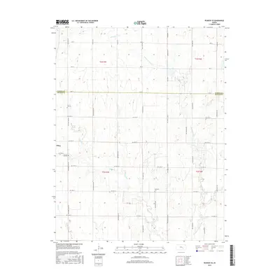
2015 Map of Peabody SE
USGS Topo · Published 2015About this map
Elbing sits on the western edge of this agricultural landscape, where the prairie of the early twenty-first century is defined by a rigorous grid of section-line roads and the winding paths of local waterways. The Whitewater River and its tributaries, including Henry Cr and Dry Cr, carve irregular patterns through the flat terrain, influencing the placement of early infrastructure like Old Mill Rd.
Find a feature on this map
40 named features on this map. Tap any name to fly to it.
Don’t see what you’re looking for? This feature index may not catch every label — zoom into the map to look around manually.
Map Details
Editions of this 2015 Peabody SE Map
This is the sole edition of this map. No revisions or reprints were ever made.
Other maps of this area

1888 · Eldorado
USGS Topo · 1:125,000

1889 · Newton
USGS Topo · 1:125,000

1889 · Wichita
USGS Topo · 1:125,000

1894 · Wichita
USGS Topo · 1:125,000

1894 · Newton
USGS Topo · 1:125,000

1898 · Cottonwood Falls
USGS Topo · 1:125,000

1955 · Wichita
USGS Topo · 1:250,000

1955 · Hutchinson
USGS Topo · 1:250,000

1957 · Peabody NW
USGS Topo · 1:24,000

1957 · Florence
USGS Topo · 1:24,000