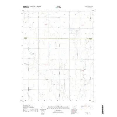
2018 Map of Peabody SE
USGS Topo · Published 2018About this map
The rolling plains of the Butler and Marion county line are defined here by a network of seasonal watercourses and straight-line section roads. The Whitewater River winds through the eastern portion of the map, joined by the multiple branches of Henry Creek and Dry Cr, reflecting the drainage patterns that shaped local land use. While much of the landscape is dedicated to agriculture, the placement of rural burial grounds like Fairmount Cem, Pleasant View Cem, and Zion Cem provides vital spatial context for genealogists tracing pioneer families and early rural congregations. The infrastructure is characterized by a precise grid of maintained thoroughfares, including Old Mill Rd and Nighthawk Rd, which trace the legacy of the Public Land Survey System across the Kansas prairie.
Find a feature on this map
39 named features on this map. Tap any name to fly to it.
Don’t see what you’re looking for? This feature index may not catch every label — zoom into the map to look around manually.
Map Details
Editions of this 2018 Peabody SE Map
This is the sole edition of this map. No revisions or reprints were ever made.
Other maps of this area

1888 · Eldorado
USGS Topo · 1:125,000

1889 · Newton
USGS Topo · 1:125,000

1889 · Wichita
USGS Topo · 1:125,000

1894 · Wichita
USGS Topo · 1:125,000

1894 · Newton
USGS Topo · 1:125,000

1898 · Cottonwood Falls
USGS Topo · 1:125,000

1955 · Wichita
USGS Topo · 1:250,000

1955 · Hutchinson
USGS Topo · 1:250,000

1957 · Peabody NW
USGS Topo · 1:24,000

1957 · Florence
USGS Topo · 1:24,000