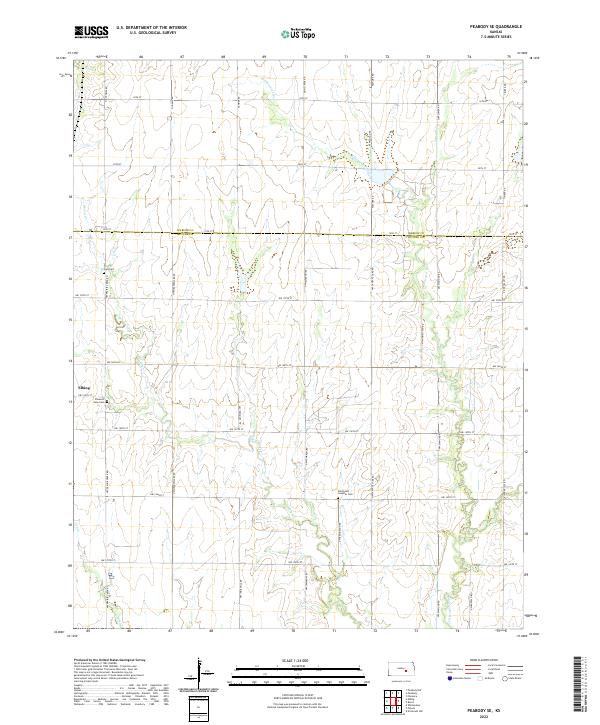
2022 Map of Peabody SE
USGS Topo · Published 2022About this map
The town of Elbing sits on the western edge of this prairie landscape where the Marion Co Butler Co line divides the northern and southern tiers of the survey. The terrain is defined by the winding course of the Whitewater River to the east and the branching network of Henry Creek and its many tributaries, such as Dry Cr, which carve subtle drainage patterns through the agricultural sections.
Find a feature on this map
41 named features on this map. Tap any name to fly to it.
Don’t see what you’re looking for? This feature index may not catch every label — zoom into the map to look around manually.
Map Details
Editions of this 2022 Peabody SE Map
This is the sole edition of this map. No revisions or reprints were ever made.
Other maps of this area

1888 · Eldorado
USGS Topo · 1:125,000

1889 · Newton
USGS Topo · 1:125,000

1889 · Wichita
USGS Topo · 1:125,000

1894 · Wichita
USGS Topo · 1:125,000

1894 · Newton
USGS Topo · 1:125,000

1898 · Cottonwood Falls
USGS Topo · 1:125,000

1955 · Wichita
USGS Topo · 1:250,000

1955 · Hutchinson
USGS Topo · 1:250,000

1957 · Peabody NW
USGS Topo · 1:24,000

1957 · Florence
USGS Topo · 1:24,000