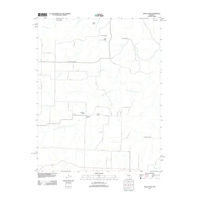
2011 Map of Peace Valley
USGS Topo · Published 2011About this map
Peace Valley and the small settlement of Fanchon occupy this pocket of Howell County within the Courtois Hills. The landscape is defined by its complex karst topography, characterized by numerous named depressions and valleys such as Walnut Sink Hollow, Chalk Hole Valley, and Lost Pond Hollow. These features reflect a subterranean drainage system common to the Ozark Plateau, where water often moves through sinkholes rather than surface channels.
Find a feature on this map
49 named features on this map. Tap any name to fly to it.
Don’t see what you’re looking for? This feature index may not catch every label — zoom into the map to look around manually.
Map Details
Editions of this 2011 Peace Valley Map
This is the sole edition of this map. No revisions or reprints were ever made.
Other maps of this area

1938 · West Plains
USGS Topo · 1:24,000

1940 · West Plains
USGS Topo · 1:24,000

1943 · Thayer
USGS Topo · 1:62,500

1944 · West Plains
USGS Topo · 1:62,500

1945 · Willow Springs
USGS Topo · 1:62,500

1945 · Montier
USGS Topo · 1:62,500

1946 · Thayer
USGS Topo · 1:62,500

1946 · West Plains
USGS Topo · 1:62,500

1948 · Montier
USGS Topo · 1:62,500

1948 · Willow Springs
USGS Topo · 1:62,500