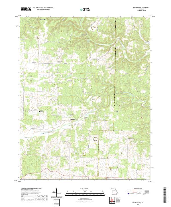
2021 Map of Peace Valley
USGS Topo · Published 2021About this map
Peace Valley lies at the northern edge of this Ozark plateau landscape, where the headwaters of Little Cr and the Eleven Point River begin to carve through the limestone. The terrain is defined by a dense network of named hollows and valleys, including County Hollow, Snow Hollow, and the evocative Chalk Hole Valley. These features, along with Walnut Sink Cr, illustrate the karst topography typical of the region, where water frequently disappears into subterranean drainage.
Find a feature on this map
46 named features on this map. Tap any name to fly to it.
Don’t see what you’re looking for? This feature index may not catch every label — zoom into the map to look around manually.
Map Details
Editions of this 2021 Peace Valley Map
This is the sole edition of this map. No revisions or reprints were ever made.
Other maps of this area

1938 · West Plains
USGS Topo · 1:24,000

1940 · West Plains
USGS Topo · 1:24,000

1943 · Thayer
USGS Topo · 1:62,500

1944 · West Plains
USGS Topo · 1:62,500

1945 · Willow Springs
USGS Topo · 1:62,500

1945 · Montier
USGS Topo · 1:62,500

1946 · Thayer
USGS Topo · 1:62,500

1946 · West Plains
USGS Topo · 1:62,500

1948 · Montier
USGS Topo · 1:62,500

1948 · Willow Springs
USGS Topo · 1:62,500