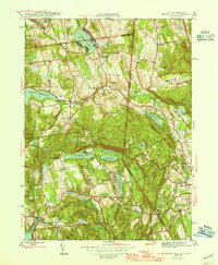
1945 Map of Peach Lake
USGS Topo · Published 1945About this map
Peach Lake and its surrounding wetlands anchor this mid-1940s survey of the New York and Connecticut borderlands. The landscape is defined by a dense network of glacial lakes and reservoirs, including the Titicus Reservoir and Cross River Res, which serve the regional water system. Small agrarian and residential hubs like North Salem, South Salem, and Salem Center are connected by winding valley roads that trace the undulating terrain of Titicus Mtn and Scott Ridge.
Find a feature on this map
46 named features on this map. Tap any name to fly to it.
Don’t see what you’re looking for? This feature index may not catch every label — zoom into the map to look around manually.
Map Details
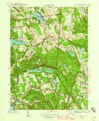
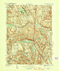
Editions of this 1945 Peach Lake Map
3 editions found
Other maps of this area

1892 · Stamford
USGS Topo · 1:62,500

1892 · Danbury
USGS Topo · 1:62,500

1892 · Norwalk
USGS Topo · 1:62,500

1892 · Carmel
USGS Topo · 1:62,500

1893 · Carmel
USGS Topo · 1:62,500

1893 · Stamford
USGS Topo · 1:62,500

1893 · Norwalk
USGS Topo · 1:62,500

1894 · Carmel
USGS Topo · 1:62,500

1899 · Stamford
USGS Topo · 1:62,500

1915 · Danbury
USGS Topo · 1:62,500