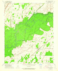
1964 Map of Peach Orchard
USGS Topo · Published 1965About this map
The Black River and Little River snake through this low-lying landscape, creating a complex network of wetlands and sloughs such as Woodland Slough and Cold Water Slough. The State Game Area dominates the central portion of the map, preserving a dense cluster of river-bottom features including Murphy Lake and the Little River Cutoff. This 1964 survey captures the distinct transition between the alluvial bottomlands and the elevated terrain of Crowley Ridge in the southeast corner.
Find a feature on this map
36 named features on this map. Tap any name to fly to it.
Don’t see what you’re looking for? This feature index may not catch every label — zoom into the map to look around manually.
Map Details
Editions of this 1964 Peach Orchard Map
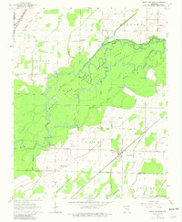
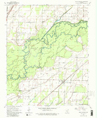
3 editions found
Other maps of this area

1932 · Walnut Ridge
USGS Topo · 1:62,500

1935 · Knobel
USGS Topo · 1:62,500

1935 · Reyno
USGS Topo · 1:62,500

1935 · Walnut Ridge
USGS Topo · 1:62,500

1940 · Gainesville
USGS Topo · 1:62,500

1941 · Knobel
USGS Topo · 1:62,500

1957 · Poplar Bluff
USGS Topo · 1:250,000

1958 · Gainesville
USGS Topo · 1:62,500

1959 · Poplar Bluff
USGS Topo · 1:250,000
1960 · Gainesville
USGS Topo · 1:62,500