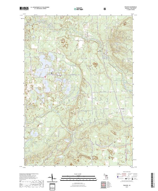
2023 Map of Peacock
USGS Topo · Published 2023About this map
The Little Manistee River and Big Sable River systems define this portion of the Manistee National Forest, where a dense concentration of glacial kettle lakes supports seasonal and year-round recreation. The landscape is characterized by the Udell Hills and a complex network of waterways including Bass Lake, Sauble Lakes, and the secluded Sawmill Lake. For genealogists and local historians, the map identifies the small settlements of Little Manistee and Peacock, along with the Lakeview Cem near Bluegill Lake. This modern survey illustrates how timber-era roads like W River Rd and 9 Mile Rd continue to provide access to the deep woods and scattered wetlands of Lake County, preserving a pattern of development that revolves around its significant water resources and public lands.
Find a feature on this map
80 named features on this map. Tap any name to fly to it.
Don’t see what you’re looking for? This feature index may not catch every label — zoom into the map to look around manually.
Map Details
Editions of this 2023 Peacock Map
This is the sole edition of this map. No revisions or reprints were ever made.
Other maps of this area

1931 · Baldwin NW
USGS Topo · 1:31,680

1931 · Custer NE
USGS Topo · 1:31,680

1931 · Baldwin NE
USGS Topo · 1:31,680

1932 · Freesoil SE
USGS Topo · 1:31,680

1933 · Peacock SE
USGS Topo · 1:31,680

1933 · Peacock SW
USGS Topo · 1:31,680

1933 · Peacock NE
USGS Topo · 1:31,680

1933 · Peacock NW
USGS Topo · 1:31,680

1954 · Traverse City
USGS Topo · 1:250,000

1954 · Milwaukee
USGS Topo · 1:250,000