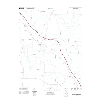
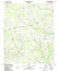
2013 Map of Peacocks Crossroads
USGS Topo · Published 2013About this map
Peacocks Crossroads and its surrounding network of agricultural communities define this portion of the Coastal Plain in the early 21st century. The landscape is heavily influenced by the drainage patterns of Johnson Swamp and Mill Creek, which dictate the placement of local thoroughfares and historic milling sites. Notable landmarks like Lees Mill and Parkers Mill sit alongside modern developments such as Massengill Airport, reflecting the persistence of rural naming conventions over generations.
Find a feature on this map
96 named features on this map. Tap any name to fly to it.
Don’t see what you’re looking for? This feature index may not catch every label — zoom into the map to look around manually.
Map Details
Editions of this 2013 Peacocks Crossroads Map
This is the sole edition of this map. No revisions or reprints were ever made.
Other maps of this area
1906 · Four Oaks
USGS Topo · 1:48,000
1908 · Four Oaks
USGS Topo · 1:62,500
1909 · Coharie
USGS Topo · 1:62,500

1953 · Raleigh
USGS Topo · 1:250,000

1954 · Raleigh
USGS Topo · 1:250,000
1973 · Benson
USGS Topo · 1:24,000
1973 · Dunn
USGS Topo · 1:24,000
1974 · Mingo
USGS Topo · 1:24,000
1986 · Peacocks Crossroads
USGS Topo · 1:24,000
1986 · Timothy
USGS Topo · 1:24,000
Featured Places
- Newton Grove, NC
- Peacocks Crossroads, NC
- Glenwood Crossroads, NC
- Blackmon Crossroads, NC
- Five Points, NC