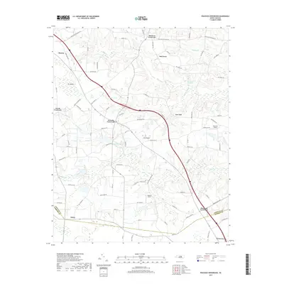
2019 Map of Peacocks Crossroads
USGS Topo · Published 2019About this map
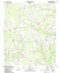
Peacocks Crossroads lies at the heart of this coastal plain landscape, where the rural tradition of naming intersections defines the settlement pattern. Moving southeast through the Johnston and Sampson county line, the map documents a series of these established junctions, including Blackmon Crossroads, Woods Crossroads, and Glenwood Crossroads. The geography is characterized by intricate drainage systems like Johnson Swamp and Little Dismal Swamp, which feed into The Dismal, a significant wetland feature in the northwestern corner.
Find a feature on this map
86 named features on this map. Tap any name to fly to it.
Don’t see what you’re looking for? This feature index may not catch every label — zoom into the map to look around manually.
Map Details
Editions of this 2019 Peacocks Crossroads Map
This is the sole edition of this map. No revisions or reprints were ever made.
Other maps of this area
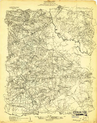
1906 · Four Oaks
USGS Topo · 1:48,000
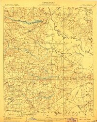
1908 · Four Oaks
USGS Topo · 1:62,500
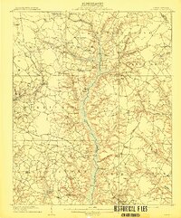
1909 · Coharie
USGS Topo · 1:62,500

1953 · Raleigh
USGS Topo · 1:250,000

1954 · Raleigh
USGS Topo · 1:250,000
1973 · Benson
USGS Topo · 1:24,000
1973 · Dunn
USGS Topo · 1:24,000
1974 · Mingo
USGS Topo · 1:24,000
1986 · Peacocks Crossroads
USGS Topo · 1:24,000
1986 · Timothy
USGS Topo · 1:24,000
Featured Places
- Newton Grove, NC
- Peacocks Crossroads, NC
- Glenwood Crossroads, NC
- Blackmon Crossroads, NC
- Five Points, NC