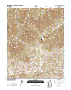
2013 Map of Peaks of Otter
USGS Topo · Published 2013About this map
Peaks of Otter dominates the landscape of this Blue Ridge region, where the high peaks descend into a network of creek-side milling communities. This 2013 survey documents a historic mill economy along the waterways, evidenced by Old Mill, Big Otter Mill, Kelso Mill, and Penicks Mill. The Blue Ridge Pkwy traverses the high elevations, connecting several vistas such as the Flat Top Mountain Overlook and Fallingwater Overlook. In the lower valleys, settlements like Peaksville and Wheats Valley are defined by the convergence of Stony Cr and Little Stony Cr. The geography transitions from the rocky outcrops of Buzzards Roost and Sharp Top Mountain to the managed waters of Abbott Lake and the Bedford Reservoir, illustrating the area's dual character as both a recreation destination and a working mountain landscape.
Find a feature on this map
99 named features on this map. Tap any name to fly to it.
Don’t see what you’re looking for? This feature index may not catch every label — zoom into the map to look around manually.
Map Details
Editions of this 2013 Peaks of Otter Map
This is the sole edition of this map. No revisions or reprints were ever made.
Other maps of this area

1890 · Roanoke
USGS Topo · 1:125,000

1891 · Roanoke
USGS Topo · 1:125,000

1892 · Lynchburg
USGS Topo · 1:125,000

1894 · Natural Bridge
USGS Topo · 1:125,000

1894 · Lexington
USGS Topo · 1:125,000

1894 · Natural Bridge
USGS Topo · 1:62,500

1907 · Natural Bridge Special
USGS Topo · 1:62,500

1935 · Buena Vista
USGS Topo · 1:48,000

1939 · Buena Vista
USGS Topo · 1:62,500

1940 · Buena Vista
USGS Topo · 1:62,500