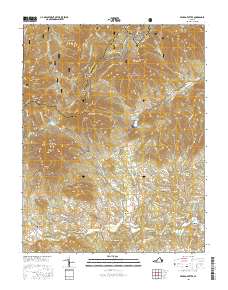
2016 Map of Peaks of Otter
USGS Topo · Published 2016About this map
Peaks of Otter and the surrounding high ridges of the Blue Ridge define the landscape of this Bedford County region. The terrain is characterized by prominent peaks including Flat Top Mtn, Sharp Top Mtn, and Harkening Hill, all set within the protected bounds of the Jefferson National Forest. The Blue Ridge Parkway winds through the central elevations, passing Abbott Lake and Sunset Hill, while the Appalachian National Scenic Trail traverses the northern crests near Floyd Mtn and Onion Mtn.
Find a feature on this map
84 named features on this map. Tap any name to fly to it.
Don’t see what you’re looking for? This feature index may not catch every label — zoom into the map to look around manually.
Map Details
Editions of this 2016 Peaks of Otter Map
This is the sole edition of this map. No revisions or reprints were ever made.
Other maps of this area

1890 · Roanoke
USGS Topo · 1:125,000

1891 · Roanoke
USGS Topo · 1:125,000

1892 · Lynchburg
USGS Topo · 1:125,000

1894 · Natural Bridge
USGS Topo · 1:125,000

1894 · Lexington
USGS Topo · 1:125,000

1894 · Natural Bridge
USGS Topo · 1:62,500

1907 · Natural Bridge Special
USGS Topo · 1:62,500

1935 · Buena Vista
USGS Topo · 1:48,000

1939 · Buena Vista
USGS Topo · 1:62,500

1940 · Buena Vista
USGS Topo · 1:62,500