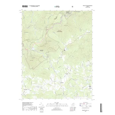
2019 Map of Peaks of Otter
USGS Topo · Published 2019About this map
Peaks of Otter dominates this landscape along the Botetourt and Bedford County line, where high-elevation summits like Flat Top Mtn and Sharp Top Mtn rise above the surrounding valleys. The area is defined by its deep connections to early industry and transit, with several named mill sites situated along the lower watercourses. Kelso Mill and Penicks Mill sit along the southwestern drainage of Sheep Cr, while Big Otter Mill and Old Mill mark the eastern reaches near the Big Otter River.
Find a feature on this map
99 named features on this map. Tap any name to fly to it.
Don’t see what you’re looking for? This feature index may not catch every label — zoom into the map to look around manually.
Map Details
Editions of this 2019 Peaks of Otter Map
This is the sole edition of this map. No revisions or reprints were ever made.
Other maps of this area

1890 · Roanoke
USGS Topo · 1:125,000

1891 · Roanoke
USGS Topo · 1:125,000

1892 · Lynchburg
USGS Topo · 1:125,000

1894 · Natural Bridge
USGS Topo · 1:125,000

1894 · Lexington
USGS Topo · 1:125,000

1894 · Natural Bridge
USGS Topo · 1:62,500

1907 · Natural Bridge Special
USGS Topo · 1:62,500

1935 · Buena Vista
USGS Topo · 1:48,000

1939 · Buena Vista
USGS Topo · 1:62,500

1940 · Buena Vista
USGS Topo · 1:62,500